Sites and Monuments Record · Ireland
Stable
Manorland (1st division), County Meath, Ireland
The record
- Townland
- Manorland (1st division)
- County
- Meath
- Country
- Ireland
- First-edition OS map
- Not indicated
- Latest-edition OS map
- Not indicated
- Coordinates
- 53.55445, -6.78955
- SMR number
- ME036-048083-
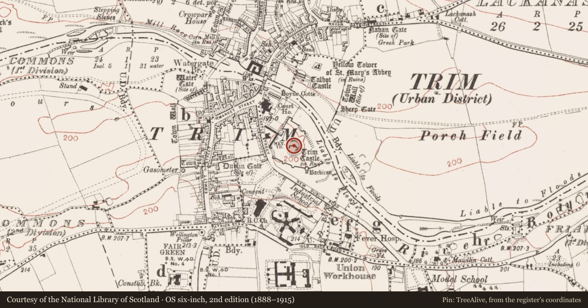
Slide toward Today to fade the historical sheet and see the modern map underneath.
David Rumsey Map Collection, Stanford LibrariesDavid Rumsey Map Collection, Stanford LibrariesDavid Rumsey Map Collection, Stanford LibrariesDavid Rumsey Map Collection, Stanford Libraries
4 historical maps cover this location, the earliest the 1790 map "Composite: Ireland." (David Rumsey Map Collection, Stanford Libraries).
Historical maps covering this location
- 1790 · Composite: Ireland. (David Rumsey Map Collection, Stanford Libraries)
- 1799 · Ireland. (David Rumsey Map Collection, Stanford Libraries)
- 1811 · Ireland. (David Rumsey Map Collection, Stanford Libraries)
- 1891 · Ireland 16 (David Rumsey Map Collection, Stanford Libraries)
This record in the National Monuments Service's Historic Environment Viewer ↗
The National Monuments Service's description
Roger Mortimer, the first Earl of Marsh, succeeded to the de Geneville liberty in 1308 and probably undertook the building of the forework (ME036-048082-) outside the keep. This enclosed rectangular area has four embrasures with simple lights in its E wall, which was integral to a stable (int. dims 10.75m N-S; 5-5.2m E-W) that has a wide entrance (Wth 1.7m) in the N wall. A N-S line of posts set on pad-stones divided the interior of the stable and further posts at the SW angle created four stalls or hitching-posts with a rudimentary drainage gully. Fifteenth century developments in the forework included the building of a new base for the entrance stairs to the keep that necessitated the rebuilding of the W wall of the stable. This in turn led to the establishment of new stalls that had hitching posts set into the W wall and a new drain. (Hayden 2011, 219-28)
Compiled by: Michael Moore
See the attached views of the stable under excavation: _1 from S; _2 from W
Date of upload: 11 July 2019
References
Hayden, A. 2011. Trim Castle, Co. Meath: Excavations 1995-8. Dublin, Stationary Office: Archaeological Monograph Series, No. 6.
Nearby in the register
- Fortificationunder 1 mi
- Castle - ringworkunder 1 mi
- Wellunder 1 mi
- Castle - Anglo-Norman masonry castleunder 1 mi
Other entries of the same register within about three miles of this one, by straight line.