Sites and Monuments Record · Ireland
Burial
Coolronan, County Meath, Ireland
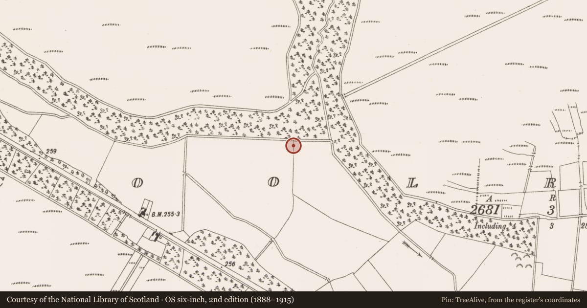
The record
- Townland
- Coolronan
- County
- Meath
- Country
- Ireland
- First-edition OS map
- Not indicated
- Latest-edition OS map
- Not indicated
- Coordinates
- 53.56638, -7.01506
- SMR number
- ME035-001----
Slide toward Today to fade the historical sheet and see the modern map underneath.
David Rumsey Map Collection, Stanford LibrariesDavid Rumsey Map Collection, Stanford LibrariesDavid Rumsey Map Collection, Stanford LibrariesDavid Rumsey Map Collection, Stanford Libraries
4 historical maps cover this location, the earliest the 1790 map "Composite: Ireland." (David Rumsey Map Collection, Stanford Libraries).
Historical maps covering this location
- 1790 · Composite: Ireland. (David Rumsey Map Collection, Stanford Libraries)
- 1799 · Ireland. (David Rumsey Map Collection, Stanford Libraries)
- 1869 · Ireland. (David Rumsey Map Collection, Stanford Libraries)
- 1891 · Ireland 16 (David Rumsey Map Collection, Stanford Libraries)
This record in the National Monuments Service's Historic Environment Viewer ↗
The National Monuments Service's description
In April 1966 human remains were discovered in a sandpit near Ballivor, county Meath. Six skeletons were discovered in a supine position with the arms by the sides and aligned S-N. The skeletons were reported to have been arranged in a row. They represented four adults and two children. They all appeared to be male. Some animal bones were included in the assemblage( Cahill & Sikora 2011, vol 2, 392-4).
Compiled by: Geraldine Stout
Date of upload: 11 March 2013
References
Cahill, M. and Sikora, M. (eds) 2011 Breaking ground, finding graves - reports on the excavations of burials by the National Museum of Ireland, 1927-2006, 2 vols. Dublin. Wordwell Ltd. in association with the National Museum of Ireland.
Nearby in the register
- Ringfort - rath1 mi
- Ringfort - rath2 mi
- Castle - motte and bailey2 mi
- Designed landscape - tree-ring2 mi
Other entries of the same register within about three miles of this one, by straight line.