Sites and Monuments Record · Ireland
Graveyard
Painestown (Duleek Lower By., Painestown Par.), County Meath, Ireland
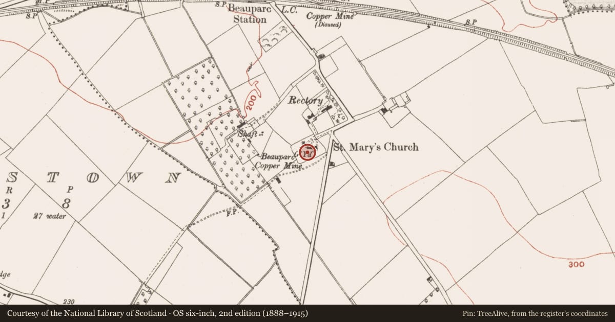
The record
- Townland
- Painestown (Duleek Lower By., Painestown Par.)
- County
- Meath
- Country
- Ireland
- First-edition OS map
- Not indicated
- Latest-edition OS map
- Grave Yd.
- Coordinates
- 53.68019, -6.57107
- SMR number
- ME026-002002-
Slide toward Today to fade the historical sheet and see the modern map underneath.
David Rumsey Map Collection, Stanford LibrariesDavid Rumsey Map Collection, Stanford LibrariesDavid Rumsey Map Collection, Stanford LibrariesDavid Rumsey Map Collection, Stanford Libraries
4 historical maps cover this location, the earliest the 1790 map "Composite: Ireland." (David Rumsey Map Collection, Stanford Libraries).
Historical maps covering this location
- 1790 · Composite: Ireland. (David Rumsey Map Collection, Stanford Libraries)
- 1799 · Ireland. (David Rumsey Map Collection, Stanford Libraries)
- 1811 · Ireland. (David Rumsey Map Collection, Stanford Libraries)
- 1891 · Ireland 16 (David Rumsey Map Collection, Stanford Libraries)
This record in the National Monuments Service's Historic Environment Viewer ↗
The National Monuments Service's description
Located towards the bottom of a gentle NW-facing slope. The parish church of Painestown (ME026-002----) is within a graveyard, which was described as fenced in Dopping's Visitation (1682-5) (Ellison 1971, 36), but the original extent of which is not certain. There is a concentrated area of burials (dims c. 45m E-W; c. 20m N-S at E to c. 30m N-S at W) around the church within a subrectangular area (dims c. 75-110m NE-SW; c. 60m NW-SE) defined by earthen banks with trees on each side except the NE where railings separate it from a N-S public road. Part of a sandstone font (ME026-002003-) and cut stones from a spire (ME026-002004-) are within the graveyard, but the stone effigy of a woman (ME026-002001-) was moved to St. Patrick’s Church of Ireland church in Slane (ME019-023001-) where it is displayed on the S wall of the vestry.
Compiled by: Michael Moore
Date of upload: 11 July, 2014
References
Ellison, Rev. C. C. 1971-5 Bishop Dopping's Visitation Book 1682-5, Ríocht na Mídhe, 5, 1, 28-39; 5, 2, 3-13; 5, 3, 3-11; 5, 4, 98-103; 6, 1, 3-13.
Nearby in the register
- Churchunder 1 mi
- Tomb - effigialunder 1 mi
- Fontunder 1 mi
- Architectural fragmentunder 1 mi
Other entries of the same register within about three miles of this one, by straight line.