Sites and Monuments Record · Ireland
Metalworking site
Alexander Reid, County Meath, Ireland
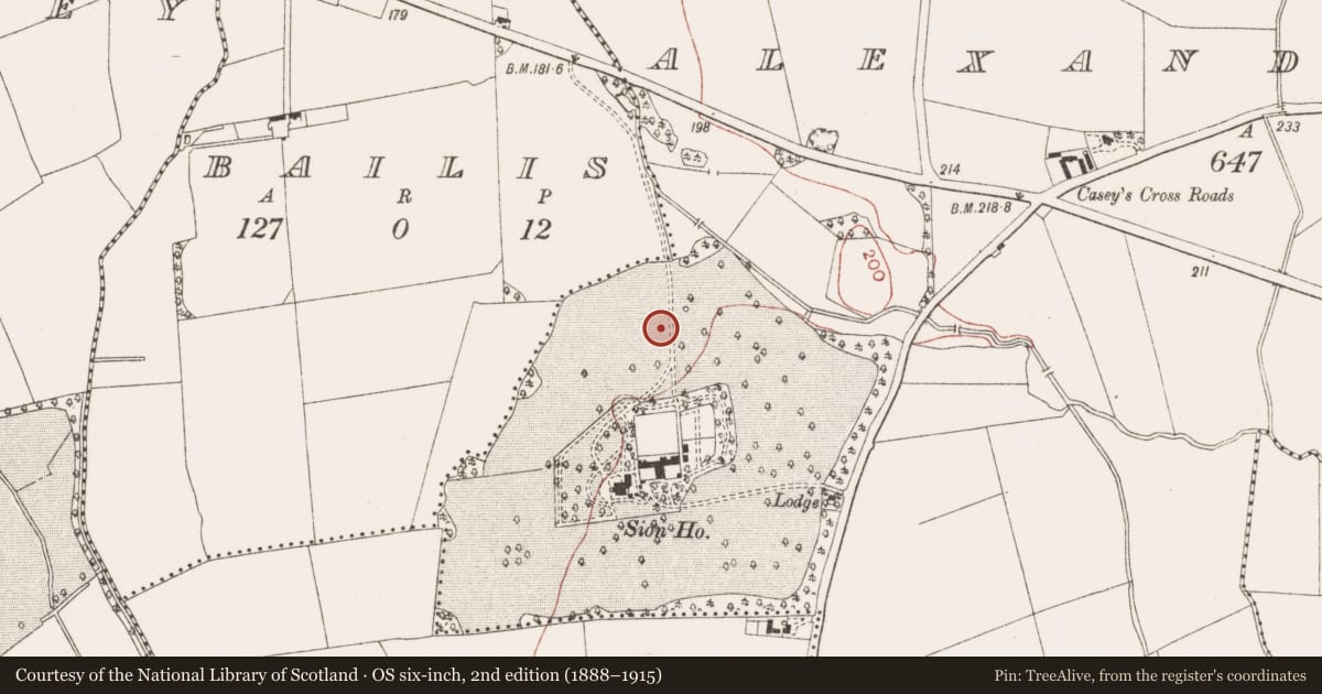
The record
- Townland
- Alexander Reid
- County
- Meath
- Country
- Ireland
- First-edition OS map
- Not indicated
- Latest-edition OS map
- Not indicated
- Coordinates
- 53.64500, -6.64996
- SMR number
- ME025-096008-
Slide toward Today to fade the historical sheet and see the modern map underneath.
David Rumsey Map Collection, Stanford LibrariesDavid Rumsey Map Collection, Stanford LibrariesDavid Rumsey Map Collection, Stanford LibrariesDavid Rumsey Map Collection, Stanford Libraries
4 historical maps cover this location, the earliest the 1790 map "Composite: Ireland." (David Rumsey Map Collection, Stanford Libraries).
Historical maps covering this location
- 1790 · Composite: Ireland. (David Rumsey Map Collection, Stanford Libraries)
- 1799 · Ireland. (David Rumsey Map Collection, Stanford Libraries)
- 1811 · Ireland. (David Rumsey Map Collection, Stanford Libraries)
- 1891 · Ireland 16 (David Rumsey Map Collection, Stanford Libraries)
This record in the National Monuments Service's Historic Environment Viewer ↗
The National Monuments Service's description
A single instance of metal-working was evident in a furnace pit cut into the upper fill of the re-cut E annexe ditch at a point just SE of the rath. Rake-out to the W indicates that the ditch was at least partially open when it was in operation. The shape of the furnace was uncertain as it had been truncated by a post-medieval ditch to the E and by a modern services trench to the W but it was round-bottomed and oriented E-W. A line of stones to the N which included a quernstone fragment was probably a wind-break. A fragment of a crucible and two possible anvil stones were recovered from the vicinity. Small quantities of slag were found in other ditch contexts. (McGlade 2017, vol. 1, 21-22; 96-7)
See the attached plan for location from McGlade (2017, vol. 1, P 29) _01 location:
Compiled by: Michael Moore
Date of upload: 19 April, 2023
McGlade, S. 2017 Preliminary Excavation Report, Site D, Alexander Reid, Navan. Licence: 16E0449. Unpublished report, 2 vols Archaeology Plan
Nearby in the register
- Hut siteunder 1 mi
- Burial groundunder 1 mi
- Enclosureunder 1 mi
- Ringfort - rathunder 1 mi
Other entries of the same register within about three miles of this one, by straight line.