Sites and Monuments Record · Ireland
Cistern
Ardbraccan, County Meath, Ireland
The record
- Townland
- Ardbraccan
- County
- Meath
- Country
- Ireland
- First-edition OS map
- Not indicated
- Latest-edition OS map
- Not indicated
- Coordinates
- 53.64413, -6.74604
- SMR number
- ME025-085003-
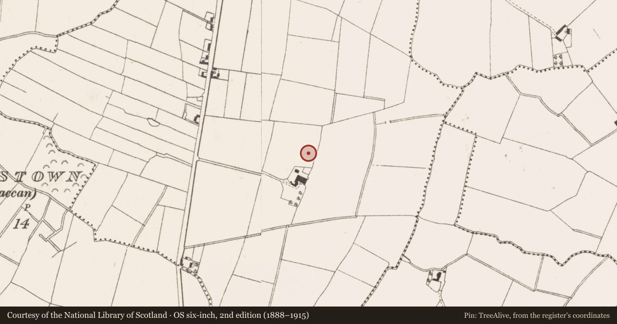
Slide toward Today to fade the historical sheet and see the modern map underneath.
David Rumsey Map Collection, Stanford LibrariesDavid Rumsey Map Collection, Stanford LibrariesDavid Rumsey Map Collection, Stanford LibrariesDavid Rumsey Map Collection, Stanford Libraries
4 historical maps cover this location, the earliest the 1790 map "Composite: Ireland." (David Rumsey Map Collection, Stanford Libraries).
Historical maps covering this location
- 1790 · Composite: Ireland. (David Rumsey Map Collection, Stanford Libraries)
- 1799 · Ireland. (David Rumsey Map Collection, Stanford Libraries)
- 1811 · Ireland. (David Rumsey Map Collection, Stanford Libraries)
- 1891 · Ireland 16 (David Rumsey Map Collection, Stanford Libraries)
This record in the National Monuments Service's Historic Environment Viewer ↗
The National Monuments Service's description
Situated on a slight N-facing slope. Archaeological centre-line testing (04E0584) by N. Fairburn at Testing Area 11 of Contract 3 in advance of the M3 motorway identified burnt mound material (excavations.ie 2004:1158) at two places that were designated Ardbraccan 1A and 1B and were fully resolved (E003115) by M. Mossop (2008) over three weeks in August 2006 (excavations.ie 2006:1486). In Area 1A (dims 40m E-W; 37m N-) two fulachta fia and a large cistern or well were recorded.
The cistern was a large oval pit (dims 8.5m E-W; 4.8m N-S; max. D 1.76m) accessed by steps from the W and had two sumps, at the centre (diam. 2.5m) and at the extreme E edge. The central sump had a collection of cattle and sheep bones at the bottom as well as unburnt seeds sealed by a dark grey clay. A sample of charred fruit wood from the sealing layer provided a C14 date of 1193-922 cal. BC (BETA 247112). The E sump (dims 3.2m x 2.8m; D 1.68m) was flat-bottomed and filled with an organic brown-grey silty clay with sizable pieces of roundwood and organic matter beneath layers with burnt mound material. (Mossop and Ruddle 2009, 2-5)
See the attached plan of the cistern from Mossop and Ruddle (2009, fig. 8)
Compiled by: Michael Moore
Date of upload: 11 April, 2023
Fairburn, N. 2004 M3 Clonee-North of Kells. Contract 3 – Navan Bypass. Report on Archaeological Assessment at Testing Area 11, Ardbraccan, County Meath. Licence: 04E0584. Unpublished report, Archaeological Consultancy Services
Mossop, M. and E. Ruddle 2009 M3 Clonee-North of Kells. Contract 3 – Navan Bypass. Report on the Archaeological Excavation of Ardbraccan 1, Co. Meath. Licence: E003115. Final Unpublished report, Archaeological Consultancy Services 70.94m OD ITM true B (683032, 766605)
Nearby in the register
- Fulacht fiaunder 1 mi
- Fulacht fiaunder 1 mi
- Field boundaryunder 1 mi
- Kiln - corn-dryingunder 1 mi
Other entries of the same register within about three miles of this one, by straight line.