Sites and Monuments Record · Ireland
Enclosure
Antylstown, County Meath, Ireland
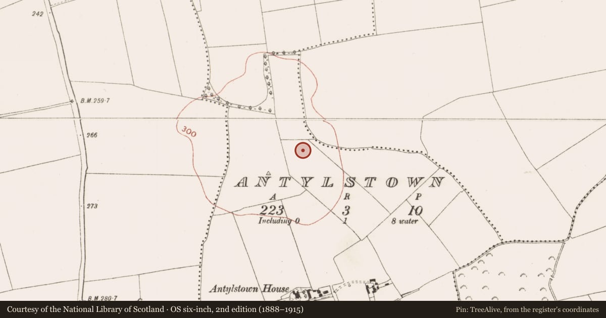
The record
- Townland
- Antylstown
- County
- Meath
- Country
- Ireland
- First-edition OS map
- Not indicated
- Latest-edition OS map
- Not indicated
- Coordinates
- 53.68798, -6.66359
- SMR number
- ME025-072003-
Slide toward Today to fade the historical sheet and see the modern map underneath.
David Rumsey Map Collection, Stanford LibrariesDavid Rumsey Map Collection, Stanford LibrariesDavid Rumsey Map Collection, Stanford LibrariesDavid Rumsey Map Collection, Stanford Libraries
4 historical maps cover this location, the earliest the 1790 map "Composite: Ireland." (David Rumsey Map Collection, Stanford Libraries).
Historical maps covering this location
- 1790 · Composite: Ireland. (David Rumsey Map Collection, Stanford Libraries)
- 1799 · Ireland. (David Rumsey Map Collection, Stanford Libraries)
- 1811 · Ireland. (David Rumsey Map Collection, Stanford Libraries)
- 1891 · Ireland 16 (David Rumsey Map Collection, Stanford Libraries)
This record in the National Monuments Service's Historic Environment Viewer ↗
The National Monuments Service's description
Situated on top of a broad hill. The cropmarks of six enclosures that are located within 20-75m of each other on land that was once part of the demesne of Antylstown House are only visible on Apple maps, which utilises a survey conducted by Bluesky International during June 2018. The features are usually not cut by any of the field banks depicted on the 1836 edition of the OS 6-inch map that are also visible as cropmarks. This enclosure (int. diam. c. 18m) is defined by a continuous fosse (Wth c. 2m), and the complex was first reported by Justin Kenny.
See the attached enhanced view from Apple Maps
Compiled by: Michael Moore
Date of upload: 31 January 2020
Nearby in the register
- Enclosureunder 1 mi
- Ring-ditchunder 1 mi
- Ring-ditchunder 1 mi
- Enclosureunder 1 mi
Other entries of the same register within about three miles of this one, by straight line.