Sites and Monuments Record · Ireland
Excavation - miscellaneous
Simonstown, County Meath, Ireland
The record
- Townland
- Simonstown
- County
- Meath
- Country
- Ireland
- First-edition OS map
- Not indicated
- Latest-edition OS map
- Not indicated
- Coordinates
- 53.68713, -6.69453
- SMR number
- ME025-055----
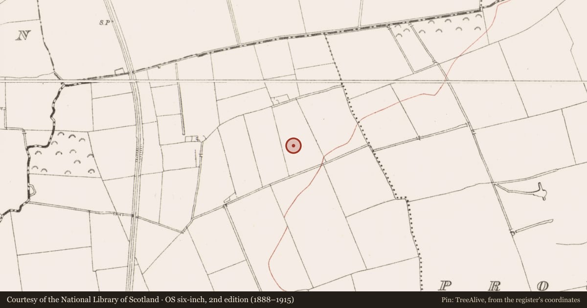
Slide toward Today to fade the historical sheet and see the modern map underneath.
David Rumsey Map Collection, Stanford LibrariesDavid Rumsey Map Collection, Stanford LibrariesDavid Rumsey Map Collection, Stanford LibrariesDavid Rumsey Map Collection, Stanford Libraries
4 historical maps cover this location, the earliest the 1790 map "Composite: Ireland." (David Rumsey Map Collection, Stanford Libraries).
Historical maps covering this location
- 1790 · Composite: Ireland. (David Rumsey Map Collection, Stanford Libraries)
- 1799 · Ireland. (David Rumsey Map Collection, Stanford Libraries)
- 1811 · Ireland. (David Rumsey Map Collection, Stanford Libraries)
- 1891 · Ireland 16 (David Rumsey Map Collection, Stanford Libraries)
This record in the National Monuments Service's Historic Environment Viewer ↗
The National Monuments Service's description
Situated on a fairly level landscape. Archaeological monitoring (98E0352) of topsoil stripping over an area of about 38 hectares (c. 95 acres) by C. Ó Drisceoil identified six areas of potential archaeological importance consisting largely of pits filled with charcoal and burnt stones (excavations.ie 1998:526). In Area 5 28 pits were originally identified, some of which were excavated at the time. When the area was re-examined (12E0311) by P. D. Sweetman (2012, 14-22) fewer features remained (excavations. ie 2012:660). A pit (diam. c. 1m; D 0.15m) was filled with hard-packed soil that had stones and some charcoal flecks and cremated bone. Two thumb-nail scrapers were also recovered from it. A second pit (dims 0.65m x 0.5m; D 0.1m) was c. 16m to the SE and had a dark grey fill that produced 14 pieces of waste flint. A third pit (dims 0.6m x 0.4m; D ) with a post-pit (diam. 0.15-0.2m; D 0.25m) was 2.6m to the N of the second pit and produced 42 pieces of mostly waste flint and one piece of chert. A fourth pit (diam. 0.6m; D 0.24m) just 0.7m to the W of the third had a fill with flecks of charcoal and cremated bone and 43 pieces of mostly waste flint.
Compiled by: Michael Moore
Date of upload: 30 March 2023
Ó Drisceoil, C. 1998 Archaeological Test-excavations at Simonstown, Co. Meath. Licence: 98E0352. Unpublished Interim Report, Archaeological Consultancy Services
Sweetman, P. D. 2012 Report on Archaeological Assessment, Monitoring and Excavation at Simonstown, County Meath, August-September 2012. Licence: 12E0311. Unpublished report, Author
Nearby in the register
- Burnt moundunder 1 mi
- Pit-burialunder 1 mi
- Structureunder 1 mi
- Excavation - miscellaneousunder 1 mi
Other entries of the same register within about three miles of this one, by straight line.