Sites and Monuments Record · Ireland
Stone sculpture
Slanecastle Demesne, County Meath, Ireland
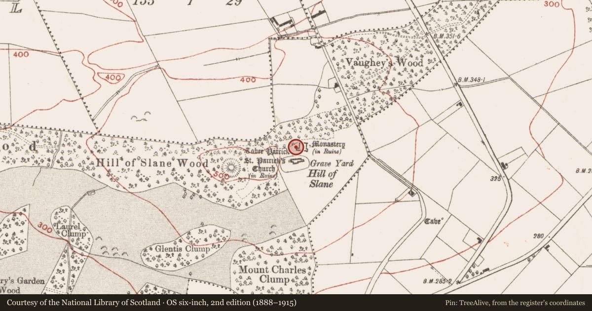
The record
- Townland
- Slanecastle Demesne
- County
- Meath
- Country
- Ireland
- First-edition OS map
- Not indicated
- Latest-edition OS map
- Not indicated
- Coordinates
- 53.71748, -6.54316
- SMR number
- ME019-060011-
Slide toward Today to fade the historical sheet and see the modern map underneath.
David Rumsey Map Collection, Stanford LibrariesDavid Rumsey Map Collection, Stanford LibrariesDavid Rumsey Map Collection, Stanford LibrariesDavid Rumsey Map Collection, Stanford Libraries
4 historical maps cover this location, the earliest the 1636 map "Vltoniae Orientalis Pars" (David Rumsey Map Collection, Stanford Libraries).
Historical maps covering this location
- 1636 · Vltoniae Orientalis Pars (David Rumsey Map Collection, Stanford Libraries)
- 1799 · Ireland. (David Rumsey Map Collection, Stanford Libraries)
- 1811 · Ireland. (David Rumsey Map Collection, Stanford Libraries)
- 1891 · Ireland 16 (David Rumsey Map Collection, Stanford Libraries)
This record in the National Monuments Service's Historic Environment Viewer ↗
The National Monuments Service's description
A Dundry stone (Wth 0.3-0.6m; H 0.45m) set into the inner face of the W wall of the S range of the College has part of a dragon in relief and is probably part of the original display of the Royal arms of France and England (ME019-060013-) over the doorway in the S range. These were the arms adopted by Edward III (Reign 1327-1377), and the Tudors added a red dragon as a supporter in the late fifteenth century in acknowledgement of their Welsh origin. The Fleming arms (ME019-060012-) might have been the other supporter.
Compiled by: Michael Moore
Date of upload: 28 January 2021
Nearby in the register
- Architectural fragmentunder 1 mi
- Armorial plaqueunder 1 mi
- Ecclesiastical residenceunder 1 mi
- Armorial plaqueunder 1 mi
Other entries of the same register within about three miles of this one, by straight line.