Sites and Monuments Record · Ireland
House - 18th century
Knowth, County Meath, Ireland
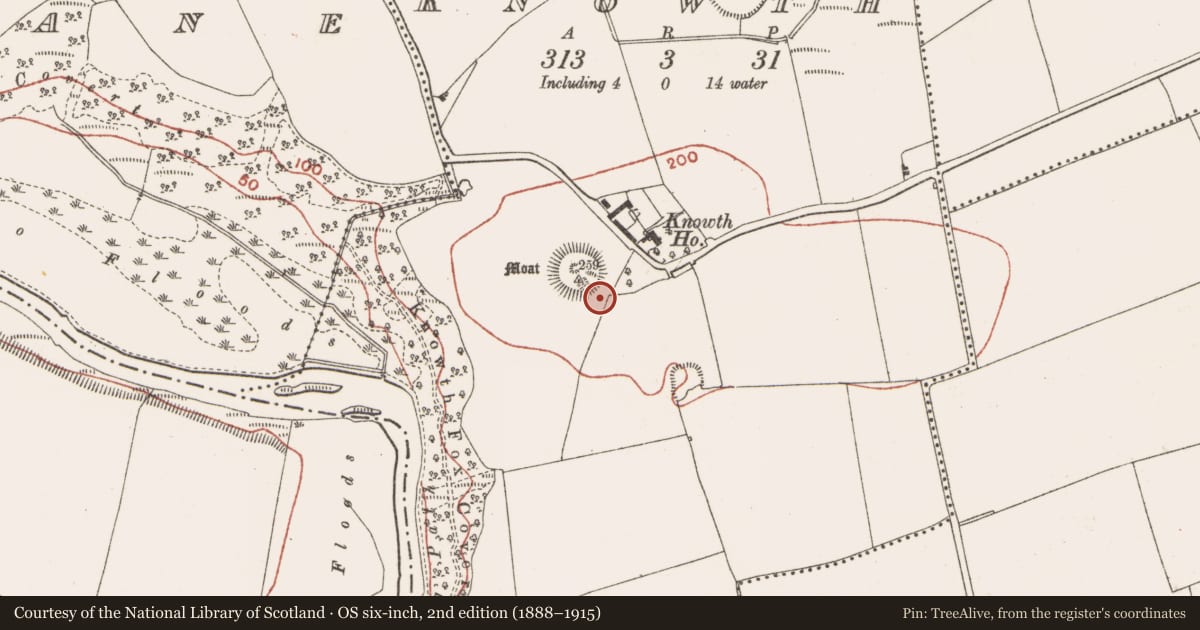
The record
- Townland
- Knowth
- County
- Meath
- Country
- Ireland
- First-edition OS map
- Not indicated
- Latest-edition OS map
- Not indicated
- Coordinates
- 53.70082, -6.49089
- SMR number
- ME019-030097-
Slide toward Today to fade the historical sheet and see the modern map underneath.
David Rumsey Map Collection, Stanford LibrariesDavid Rumsey Map Collection, Stanford LibrariesDavid Rumsey Map Collection, Stanford LibrariesDavid Rumsey Map Collection, Stanford Libraries
4 historical maps cover this location, the earliest the 1790 map "Composite: Ireland." (David Rumsey Map Collection, Stanford Libraries).
Historical maps covering this location
- 1790 · Composite: Ireland. (David Rumsey Map Collection, Stanford Libraries)
- 1799 · Ireland. (David Rumsey Map Collection, Stanford Libraries)
- 1811 · Ireland. (David Rumsey Map Collection, Stanford Libraries)
- 1891 · Ireland 16 (David Rumsey Map Collection, Stanford Libraries)
This record in the National Monuments Service's Historic Environment Viewer ↗
The National Monuments Service's description
Eogan was not able to excavate on the sites of the mapped houses of the post-medieval settlement SW of the road, but test-trenching in the area between the mound and the road produced evidence of seven other post-medieval structures that did not appear on any survey, showing just how incomplete the mapping evidence of a well-documented area can be. The houses (max. ext. dims c. 10m x c. 5m) have drystone bases to the walls, although it is possible that these are just the bases of cob or mud walls. Some of the houses can have rounded external corners as some of the medieval houses had. One of the post-medieval house, No. 15, is just SE of the great mound and was fully excavated. It is rectangular (int. dims c. 4.3m plus ENE-WSW; c. 3.3m NNW-SSE) defined by double-faced walls (Wth c. 0.8m; H c. 0.5m) with sharp external corners. Its E wall is entirely missing but it has a paved floor. No features such as a doorway, hearth or window is identified, but it does re-use a stone with megalithic art, which is placed in a prominent position on the outer face of the N wall as well as a medieval quernstone. This house is conserved. (Eogan 2012, 187-20)
Compiled by: Michael Moore
Date of upload: 21 September 2020
See the attached illustration:
_1 House plan, from Knowth 5, Fig. 6:9
References
Eogan, G. 2012 Excavations at Knowth 5: the archaeology of Knowth in the first and second millennia AD. Dublin. Royal Irish Academy.
Nearby in the register
- Megalithic tomb - passage tombunder 1 mi
- House - early medievalunder 1 mi
- House - early medievalunder 1 mi
- House - early medievalunder 1 mi
Other entries of the same register within about three miles of this one, by straight line.