Sites and Monuments Record · Ireland
Slab-lined burial
Knowth, County Meath, Ireland
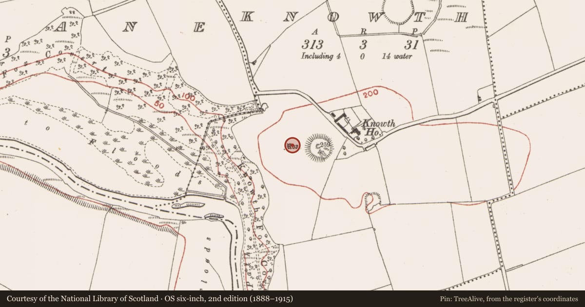
The record
- Townland
- Knowth
- County
- Meath
- Country
- Ireland
- First-edition OS map
- Not indicated
- Latest-edition OS map
- Not indicated
- Coordinates
- 53.70123, -6.49255
- SMR number
- ME019-030084-
Slide toward Today to fade the historical sheet and see the modern map underneath.
David Rumsey Map Collection, Stanford LibrariesDavid Rumsey Map Collection, Stanford LibrariesDavid Rumsey Map Collection, Stanford LibrariesDavid Rumsey Map Collection, Stanford Libraries
4 historical maps cover this location, the earliest the 1790 map "Composite: Ireland." (David Rumsey Map Collection, Stanford Libraries).
Historical maps covering this location
- 1790 · Composite: Ireland. (David Rumsey Map Collection, Stanford Libraries)
- 1799 · Ireland. (David Rumsey Map Collection, Stanford Libraries)
- 1811 · Ireland. (David Rumsey Map Collection, Stanford Libraries)
- 1891 · Ireland 16 (David Rumsey Map Collection, Stanford Libraries)
This record in the National Monuments Service's Historic Environment Viewer ↗
The National Monuments Service's description
Located c. 30m W of the great mound and c. 20m S of Tomb 9. Four slab-lined burials were placed side by side, creating a small cemetery. The graves were lined with upright slabs and had stone bases as well as covering stones. They were generally aligned NE-SW with the heads at NE. Some of the cists (dims c. 1.8m x 0.56m; D 0.24m) were damaged. One probable male aged c. 17 and one female aged c. 25 were interred together with the heads at NE. Another cist contained only some teeth and the fourth was empty. A radiocarbon date of 1210 +- 28 bp (cal. AD 710-891) was returned from one of the burials. The graves are conserved in situ. (Eogan 2012, 57-61; O’Brien 2012, 61-71)
Compiled by: Michael Moore
Date of upload; 21 September 2020
See attached illustration:
_1 Plan of burials, from Knowth 5, Fig. 3:6
O’Brien, E. 2012 3. 2. 1. Knowth Secondary Burials – Proto-historic and Historic Period. In G. Eogan, 2012, 61-71. Dublin, Royal Irish Academy
References
Eogan, G. 2012 Excavations at Knowth 5: the archaeology of Knowth in the first and second millennia AD. Dublin. Royal Irish Academy.
Nearby in the register
- Megalithic tomb - passage tombunder 1 mi
- Megalithic tomb - passage tombunder 1 mi
- Megalithic tomb - passage tombunder 1 mi
- House - Neolithicunder 1 mi
Other entries of the same register within about three miles of this one, by straight line.