Sites and Monuments Record · Ireland
Graveslab (present location)
Slane, County Meath, Ireland
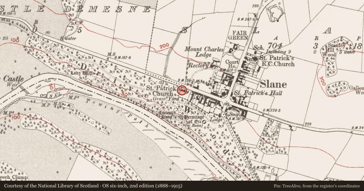
The record
- Townland
- Slane
- County
- Meath
- Country
- Ireland
- First-edition OS map
- Not indicated
- Latest-edition OS map
- Not indicated
- Coordinates
- 53.70902, -6.54643
- SMR number
- ME019-023002-
Slide toward Today to fade the historical sheet and see the modern map underneath.
David Rumsey Map Collection, Stanford LibrariesDavid Rumsey Map Collection, Stanford LibrariesDavid Rumsey Map Collection, Stanford LibrariesDavid Rumsey Map Collection, Stanford Libraries
4 historical maps cover this location, the earliest the 1790 map "Composite: Ireland." (David Rumsey Map Collection, Stanford Libraries).
Historical maps covering this location
- 1790 · Composite: Ireland. (David Rumsey Map Collection, Stanford Libraries)
- 1799 · Ireland. (David Rumsey Map Collection, Stanford Libraries)
- 1811 · Ireland. (David Rumsey Map Collection, Stanford Libraries)
- 1891 · Ireland 16 (David Rumsey Map Collection, Stanford Libraries)
This record in the National Monuments Service's Historic Environment Viewer ↗
The National Monuments Service's description
Two medieval graveslabs and other features from the parish church of Stackallan (ME018-030----) are now attached to the W wall of the vestry of the Church of Ireland church at Slane (ME019-023002-). One graveslab (Wth 0.37-0.65m; L 1.71m) is a coffin-shaped sandstone with a floriated cross in relief. A sword with a central groove on the blade and a disc pommel is parallel with the stem of the cross. An inscription incised in lombardic script along the long edges of the stone reads in French: Pater noster P charite pur la / lme sire Richard Descetre le seco. (DU Noyer 1892-4, 3347; Bradley and King 1985, 150-1)
The above description is derived from the published 'Archaeological Inventory of County Meath' (Dublin: Stationery Office, 1987). In certain instances the entries have been revised and updated in the light of recent research.
Compiled by: Michael Moore
Date of upload/revision: 16 June 2014
References
Bradley, J. and King, H.A. 1985 Urban archaeological survey - county Meath. Unpublished report commissioned by the Office of Public Works, Dublin.
Du Noyer 1892-4 Stackallen. Journal of the Association for the Preservation of the Memorials of the Dead in Ireland, 2, 347-8.
FitzGerald, Lord W. 1912 Stackallan Church and Graveyard. Journal of the Association for the Preservation of the Memorials of the Dead in Ireland 8, 3, 612-13.
Nearby in the register
- Tomb - effigial (present location)under 1 mi
- Architectural featureunder 1 mi
- Armorial plaque (present location)under 1 mi
- Graveslab (present location)under 1 mi
Other entries of the same register within about three miles of this one, by straight line.