Sites and Monuments Record · Ireland
Pit
Cookstown Great, County Meath, Ireland
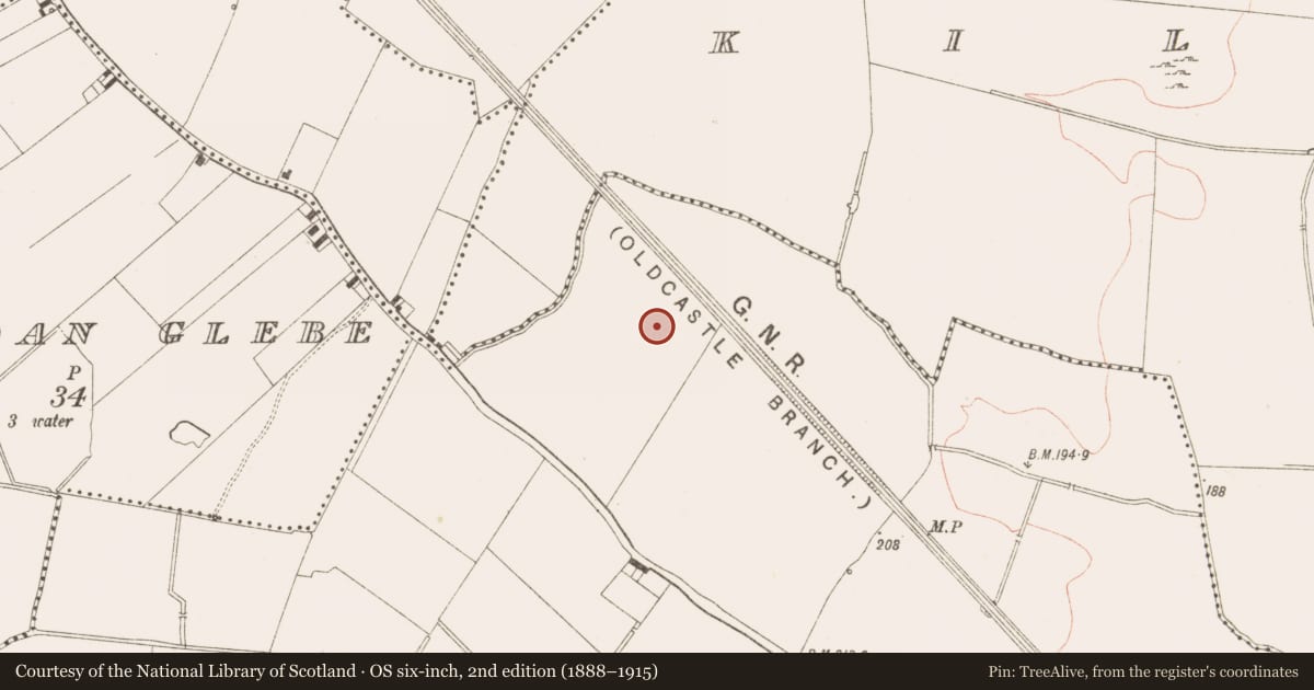
The record
- Townland
- Cookstown Great
- County
- Meath
- Country
- Ireland
- First-edition OS map
- Not indicated
- Latest-edition OS map
- Not indicated
- Coordinates
- 53.70733, -6.85681
- SMR number
- ME017-089007-
Slide toward Today to fade the historical sheet and see the modern map underneath.
David Rumsey Map Collection, Stanford LibrariesDavid Rumsey Map Collection, Stanford LibrariesDavid Rumsey Map Collection, Stanford LibrariesDavid Rumsey Map Collection, Stanford Libraries
4 historical maps cover this location, the earliest the 1790 map "Composite: Ireland." (David Rumsey Map Collection, Stanford Libraries).
Historical maps covering this location
- 1790 · Composite: Ireland. (David Rumsey Map Collection, Stanford Libraries)
- 1799 · Ireland. (David Rumsey Map Collection, Stanford Libraries)
- 1869 · Ireland. (David Rumsey Map Collection, Stanford Libraries)
- 1891 · Ireland 16 (David Rumsey Map Collection, Stanford Libraries)
This record in the National Monuments Service's Historic Environment Viewer ↗
The National Monuments Service's description
There was a cluster of three intercutting pits (dims 1.2m x 0.85m; D 0.19m to 1.7m x 1.42m; D 0.48m) c. 12m E of Neolithic house A. The fills were sands and clays and a tanged knife blade of 11th to 13th century date, an iron ring and a sherd of Meath-type ware was recovered from one of them. A C14 date from this pit returned a date of 1015-1157 cal. AD ((UBA 11091). A gully (Wth 0.7m; D 0.28m; L 9.5m plus) extended NE from the largest pit, and a shallow pit (dims 1.8m x 1.4m; D 0.17m) c. 9m to the W produced a piece of slag and so is probably related, although no metalworking features were identified. (McLouoghlin 2010, 20-22)
See the attached plans adapted from McLoughlin 2010 (figs 5, 17)
ME017-089_1 Location;
ME017-089007-_1 Plan;
Compiled by: Michael Moore
Date of upload: 23 March 2022
References
McLoughlin, G. 2010 M3 Clonee – North of Kells, Contract 4, Navan to Kells and Kells Bypass. Final Report on Cookstown Great 3, Co. Meath. Licence: E003139. Unpublished report, Irish Archaeological Consultancy
Nearby in the register
- House - Neolithicunder 1 mi
- House - Neolithicunder 1 mi
- Hut siteunder 1 mi
- Hut siteunder 1 mi
Other entries of the same register within about three miles of this one, by straight line.