Sites and Monuments Record · Ireland
Burnt mound
Town Parks (Kells Upper By.), County Meath, Ireland
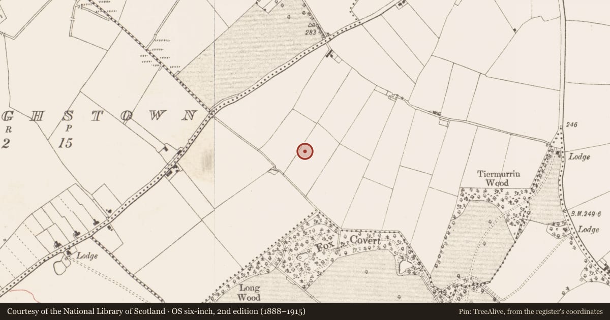
The record
- Townland
- Town Parks (Kells Upper By.)
- County
- Meath
- Country
- Ireland
- First-edition OS map
- Not indicated
- Latest-edition OS map
- Not indicated
- Coordinates
- 53.71581, -6.89184
- SMR number
- ME017-078----
Slide toward Today to fade the historical sheet and see the modern map underneath.
David Rumsey Map Collection, Stanford LibrariesDavid Rumsey Map Collection, Stanford LibrariesDavid Rumsey Map Collection, Stanford LibrariesDavid Rumsey Map Collection, Stanford Libraries
4 historical maps cover this location, the earliest the 1636 map "Vltoniae Orientalis Pars" (David Rumsey Map Collection, Stanford Libraries).
Historical maps covering this location
- 1636 · Vltoniae Orientalis Pars (David Rumsey Map Collection, Stanford Libraries)
- 1790 · Composite: Ireland. (David Rumsey Map Collection, Stanford Libraries)
- 1869 · Ireland. (David Rumsey Map Collection, Stanford Libraries)
- 1891 · Ireland 16 (David Rumsey Map Collection, Stanford Libraries)
This record in the National Monuments Service's Historic Environment Viewer ↗
The National Monuments Service's description
Archaeological testing (04E0915) by S. Delaney (2005) at Testing Area 12 of Contract 4 of the M3 motorway identified (excavations.ie 2004:1355) a burnt mound spread (dims 6m x 4m) that was completely excavated (E003150) in December 2004 by Y. Whitty as Town Parks 4. By this time it was reduced to a small spread (dims 3m x 2.5m; T 0.1m) of broken and burnt stone. No other features or artefacts were recovered. (Whitty 2010, 5-6)
Compiled by: Michael Moore
Date of upload: 11 March 2022
References
Whitty, Y. 2010 M3 Clonee – North of Kells, Contract 4, Navan to Kells and Kells Bypass. Final Report on Town Parks 4, Co. Meath. Licence: E003150. Unpublished report, Irish Archaeological Consultancy
Delaney, S. 2005 M3 Clonee-North of Kells; Contract 4, Navan - Kells and Kells Bypass. Report on Archaeological Assessment at Testing Area 12 in Rockfield and Town Parks, County Meath. Licence: 04E0915. Unpublished report, Irish Archaeological Consultancy
Whitty, Y. 2010 M3 Clonee – North of Kells, Contract 4, Navan to Kells and Kells Bypass. Final Report on Town Parks 6, Co. Meath. Licence: E003152. Unpublished report, Irish Archaeological Consultancy
Nearby in the register
- Structureunder 1 mi
- House - Neolithicunder 1 mi
- Fulacht fiaunder 1 mi
- Fulacht fiaunder 1 mi
Other entries of the same register within about three miles of this one, by straight line.