Sites and Monuments Record · Ireland
Souterrain
Patrickstown, County Meath, Ireland
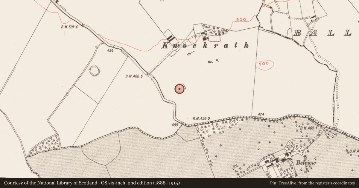
The record
- Townland
- Patrickstown
- County
- Meath
- Country
- Ireland
- First-edition OS map
- Not indicated
- Latest-edition OS map
- Not indicated
- Coordinates
- 53.73861, -7.06588
- SMR number
- ME015-018002-
Slide toward Today to fade the historical sheet and see the modern map underneath.
David Rumsey Map Collection, Stanford LibrariesDavid Rumsey Map Collection, Stanford LibrariesDavid Rumsey Map Collection, Stanford LibrariesDavid Rumsey Map Collection, Stanford Libraries
4 historical maps cover this location, the earliest the 1636 map "Vltoniae Orientalis Pars" (David Rumsey Map Collection, Stanford Libraries).
Historical maps covering this location
- 1636 · Vltoniae Orientalis Pars (David Rumsey Map Collection, Stanford Libraries)
- 1790 · Composite: Ireland. (David Rumsey Map Collection, Stanford Libraries)
- 1869 · Ireland. (David Rumsey Map Collection, Stanford Libraries)
- 1891 · Ireland 16 (David Rumsey Map Collection, Stanford Libraries)
This record in the National Monuments Service's Historic Environment Viewer ↗
The National Monuments Service's description
This souterrain has been open since the nineteenth century (Rotheram 1893, 306-07). The entrance is in the bank of rath (ME015-018001-) at SSE, and it may be close to the original entrance. A corbelled and lintelled passage runs NW (L 6.2m) and curves slightly around to the N (L 6. 55m) where it is most commodious (Wth 0.8-0.9m; H 1.4m) before entering a beehive chamber (dims 4.1m NW-SE; 3.8m NE-SW; max. H 2.3m) closed by one large stone at the top. The passage (total L 12.3m) slopes down gently from the entrance and the doorway to the chamber has vertical jamb-stones on either side.
The above description is derived from the published 'Archaeological Inventory of County Meath' (Dublin: Stationery Office, 1987). In certain instances the entries have been revised and updated in the light of recent research.
Compiled by: Michael Moore
Date of revision: 8 January 2019
References
Rotheram, E. C. 1893 On some Caves in the Sileve na Cailliagh District, Co. Meath. Proceedings of the Royal Irish Academy, vol. 3, (1893-6)305-310
Nearby in the register
- Ringfort - rathunder 1 mi
- Enclosureunder 1 mi
- Concentric enclosureunder 1 mi
- Enclosureunder 1 mi
Other entries of the same register within about three miles of this one, by straight line.