Sites and Monuments Record · Ireland
Mausoleum
Killary, County Meath, Ireland
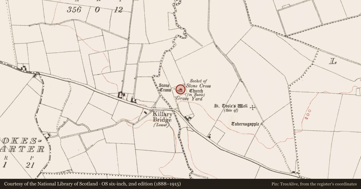
The record
- Townland
- Killary
- County
- Meath
- Country
- Ireland
- First-edition OS map
- Indicated
- Latest-edition OS map
- Indicated
- Coordinates
- 53.78979, -6.66577
- SMR number
- ME012-020007-
Slide toward Today to fade the historical sheet and see the modern map underneath.
David Rumsey Map Collection, Stanford LibrariesDavid Rumsey Map Collection, Stanford LibrariesDavid Rumsey Map Collection, Stanford LibrariesDavid Rumsey Map Collection, Stanford Libraries
4 historical maps cover this location, the earliest the 1636 map "Vltoniae Orientalis Pars" (David Rumsey Map Collection, Stanford Libraries).
Historical maps covering this location
- 1636 · Vltoniae Orientalis Pars (David Rumsey Map Collection, Stanford Libraries)
- 1790 · Composite: Ireland. (David Rumsey Map Collection, Stanford Libraries)
- 1799 · Ireland. (David Rumsey Map Collection, Stanford Libraries)
- 1891 · Ireland 16 (David Rumsey Map Collection, Stanford Libraries)
This record in the National Monuments Service's Historic Environment Viewer ↗
The National Monuments Service's description
Attached to the N wall of the chancel of the parish church of Killary (ME012-020----) there is a corbelled mausoleum (ext. dims 5.15m N-S; 4.5m E-W) that was added to its N face. It has a double-splay window (Wth 0.3m; H 0.68m) in the E wall. The lintelled doorway (Wth 0.75m; H 1.58m) with a dressed sandstone surround has a dedication to Patrick Russell of Mitchelstown dated 1818, but this is an insertion onto an older structure.
Compiled by: Michael Moore
Date of upload: 7 August, 2014
Nearby in the register
- Cross - High crossunder 1 mi
- Churchunder 1 mi
- Graveyardunder 1 mi
- Cross-slabunder 1 mi
Other entries of the same register within about three miles of this one, by straight line.