Sites and Monuments Record · Ireland
Rock art
Ballinvally, County Meath, Ireland
The record
- Townland
- Ballinvally
- County
- Meath
- Country
- Ireland
- First-edition OS map
- Not indicated
- Latest-edition OS map
- Not indicated
- Coordinates
- 53.75341, -7.10872
- SMR number
- ME009-094----
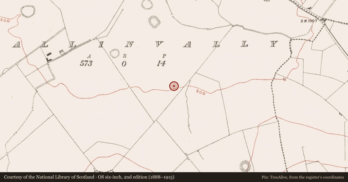
Slide toward Today to fade the historical sheet and see the modern map underneath.
David Rumsey Map Collection, Stanford LibrariesDavid Rumsey Map Collection, Stanford LibrariesDavid Rumsey Map Collection, Stanford LibrariesDavid Rumsey Map Collection, Stanford Libraries
4 historical maps cover this location, the earliest the 1636 map "Vltoniae Orientalis Pars" (David Rumsey Map Collection, Stanford Libraries).
Historical maps covering this location
- 1636 · Vltoniae Orientalis Pars (David Rumsey Map Collection, Stanford Libraries)
- 1790 · Composite: Ireland. (David Rumsey Map Collection, Stanford Libraries)
- 1869 · Ireland. (David Rumsey Map Collection, Stanford Libraries)
- 1891 · Ireland 16 (David Rumsey Map Collection, Stanford Libraries)
This record in the National Monuments Service's Historic Environment Viewer ↗
The National Monuments Service's description
This is located towards the bottom of the N-facing foothills of Loughcrew. A large erratic has split into four pieces and the upper surfaces of each piece is decorated. They were fully recorded by Shee Twohig (et al. 2010, 17-19). Stone A (max. dims 2.15m x 1.95m; H 0.6m) has seven cupmarks and fourteen cup and circles. The central motif is a cup and double circle. Stone B (max. dims 2.35m x 1.6m; H 0.6m) is just to the N of A but its SE side, where most motifs are, is markedly lower (c. 2cm). This recessed area has about 6 cupmarks, thirteen cup and circles and two cup and double circles, while the W part of the stone has five cup and circles and one cup and double circle. Stone C (max. dims 2m x 0.55m; H 0.9m) is just W of stone B but its decorated surface slope up 30 degrees to the SE. It has about five small cupmarks, four cup and circles, and a central cup and double circle. Stone D (dims 3.6m x 0.9-1.6m; H 1.3m) is just to the NW of C and is divided into four panels by natural fissures and differences in level. Each section has a cup with multiple circles (three or four) and in addition there are a total of four cup and double circles, at least twelve cup and circles but only about four single cupmarks. (Eogan 2011, 4, No. 1)
Compiled by: Michael Moore
Date of upload: 3 March, 2017
References
Shee Twohig, E., Roughly, C., Shell, C., O'Reilly, C., Clarke, P. and G. Swanston 2010 Open-air rock art at Loughcrew, Co. Meath. Journal of Irish Archaeology, vol. 19, 1-28.
Eogan, G. 2011 Some individual stones with prehistoric art from County Meath. Ríocht na Mídhe, vol. 22, 1-19.
Nearby in the register
- Rock artunder 1 mi
- Rock artunder 1 mi
- Rock artunder 1 mi
- Ringfort - rathunder 1 mi
Other entries of the same register within about three miles of this one, by straight line.