Sites and Monuments Record · Ireland
Rock art
Ballinvally, County Meath, Ireland
The record
- Townland
- Ballinvally
- County
- Meath
- Country
- Ireland
- First-edition OS map
- Not indicated
- Latest-edition OS map
- Not indicated
- Coordinates
- 53.75386, -7.11984
- SMR number
- ME009-059001-
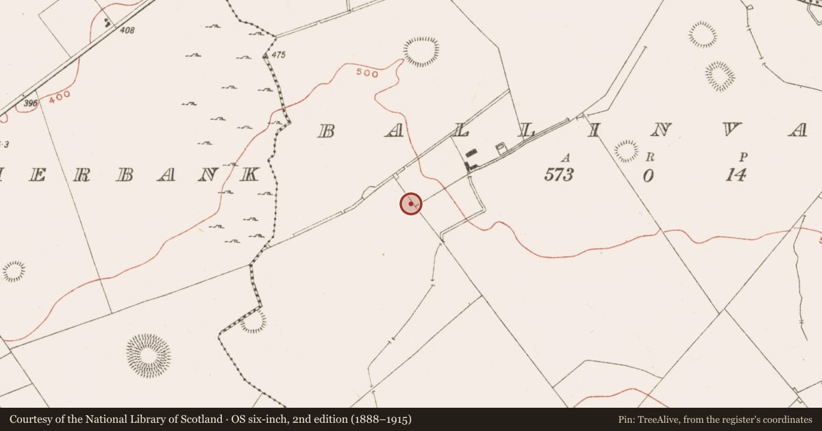
Slide toward Today to fade the historical sheet and see the modern map underneath.
David Rumsey Map Collection, Stanford LibrariesDavid Rumsey Map Collection, Stanford LibrariesDavid Rumsey Map Collection, Stanford LibrariesDavid Rumsey Map Collection, Stanford Libraries
4 historical maps cover this location, the earliest the 1636 map "Vltoniae Orientalis Pars" (David Rumsey Map Collection, Stanford Libraries).
Historical maps covering this location
- 1636 · Vltoniae Orientalis Pars (David Rumsey Map Collection, Stanford Libraries)
- 1790 · Composite: Ireland. (David Rumsey Map Collection, Stanford Libraries)
- 1869 · Ireland. (David Rumsey Map Collection, Stanford Libraries)
- 1891 · Ireland 16 (David Rumsey Map Collection, Stanford Libraries)
This record in the National Monuments Service's Historic Environment Viewer ↗
The National Monuments Service's description
This was first recognised in 1980 close to the stone circle (ME009-059002-). It has a triangular shape (max. dims 1.06m x 0.45m; T 0.5m) decorated with what might be a spiral or concentric circles running over an edge of the stone, a cup and circle and a concentric circle motif which might be broken at the edges. (Shee Twohig, 2001, 117; Shee Twohig et al. 2010, 20; Eogan 2011, 7, No. 6)
The above description is derived from the published 'Archaeological Inventory of County Meath' (Dublin: Stationery Office, 1987). In certain instances the entries have been revised and updated in the light of recent research.
Date of revision: 3 March 2017
References
Shee Twohig, E., Roughly, C., Shell, C., O'Reilly, C., Clarke, P. and G. Swanston 2010 Open-air rock art at Loughcrew, Co. Meath. Journal of Irish Archaeology, vol. 19, 1-28.
Eogan, G. 2011 Some individual stones with prehistoric art from County Meath. Ríocht na Mídhe, vol. 22, 1-19.
Shee Twohig, E. 2001 Change and Continuity: post passage tomb ceremonial near Lougcrew, Co. Meath. Revue archéologique de l'Ouest, Supplement No. 9, 113-24.
Nearby in the register
- Stone circleunder 1 mi
- Cursusunder 1 mi
- Standing stoneunder 1 mi
- Road - road/trackwayunder 1 mi
Other entries of the same register within about three miles of this one, by straight line.