Sites and Monuments Record · Ireland
Field system
Drumsawry Or Summerbank, County Meath, Ireland
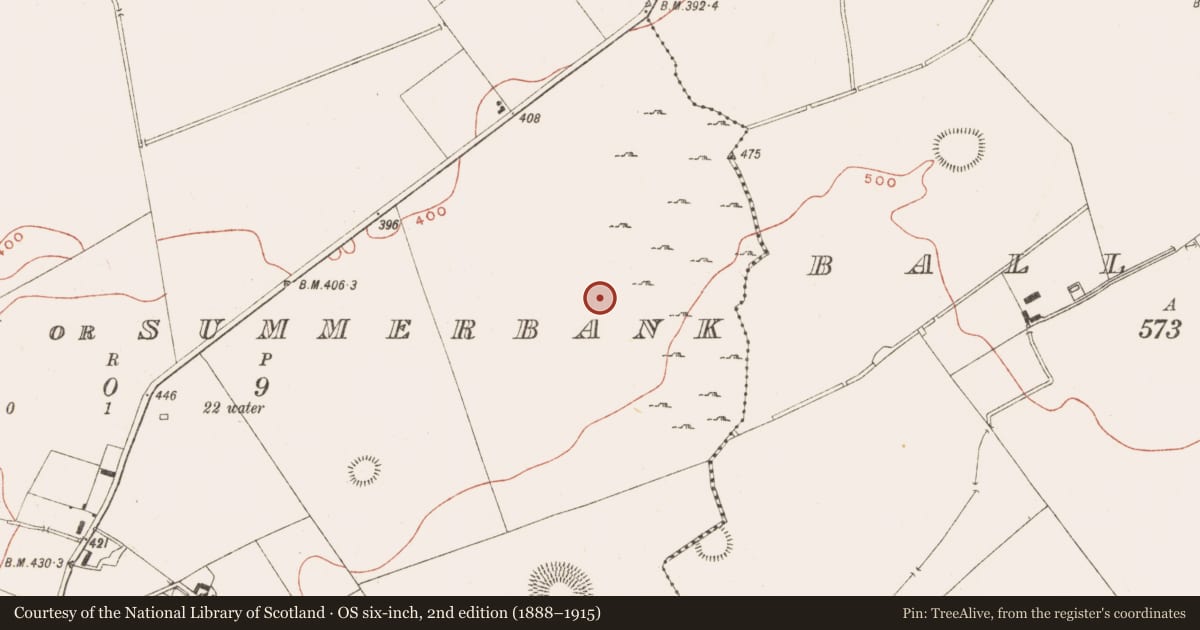
The record
- Townland
- Drumsawry Or Summerbank
- County
- Meath
- Country
- Ireland
- First-edition OS map
- Not indicated
- Latest-edition OS map
- Not indicated
- Coordinates
- 53.75480, -7.12722
- SMR number
- ME009-045----
Slide toward Today to fade the historical sheet and see the modern map underneath.
David Rumsey Map Collection, Stanford LibrariesDavid Rumsey Map Collection, Stanford LibrariesDavid Rumsey Map Collection, Stanford LibrariesDavid Rumsey Map Collection, Stanford Libraries
4 historical maps cover this location, the earliest the 1636 map "Vltoniae Orientalis Pars" (David Rumsey Map Collection, Stanford Libraries).
Historical maps covering this location
- 1636 · Vltoniae Orientalis Pars (David Rumsey Map Collection, Stanford Libraries)
- 1790 · Composite: Ireland. (David Rumsey Map Collection, Stanford Libraries)
- 1869 · Ireland. (David Rumsey Map Collection, Stanford Libraries)
- 1891 · Ireland 16 (David Rumsey Map Collection, Stanford Libraries)
This record in the National Monuments Service's Historic Environment Viewer ↗
The National Monuments Service's description
Located on a shelf at the bottom of the N-facing slope of Slieve na Calliagh ridge. An area of about 20 acres (c. 8.5ha) has relict stone field walls forming roughly rectangular but irregular fields (dims c. 100m x c. 50m). It was once more extensive, extending into fields to the SE and covering c. 65 acres (CUCAP: AHN 51, AJZ 83). Some field walls overlie the large enclosure (ME009-047----), and the cashel (ME009-046----) is within the system but not incorporating any of its walls.
The above description is derived from the published 'Archaeological Inventory of County Meath' (Dublin: Stationery Office, 1987). In certain instances the entries have been revised and updated in the light of recent research.
Compiled by: Michael Moore
Date of revision: 1 November 2018
References
CUCAP - Cambridge University Collection of Aerial Photographs. Unit for Landscape Modelling, Department of Geography, University of Cambridge. See:https://www.cambridgeairphotos.com
Nearby in the register
- Enclosure - large enclosureunder 1 mi
- Ringfort - unclassifiedunder 1 mi
- Ringfort - cashelunder 1 mi
- Standing stoneunder 1 mi
Other entries of the same register within about three miles of this one, by straight line.