Sites and Monuments Record · Ireland
Furnace
Brittas, County Meath, Ireland
The record
- Townland
- Brittas
- County
- Meath
- Country
- Ireland
- First-edition OS map
- Not indicated
- Latest-edition OS map
- Not indicated
- Coordinates
- 53.81764, -6.75589
- SMR number
- ME005-088014-
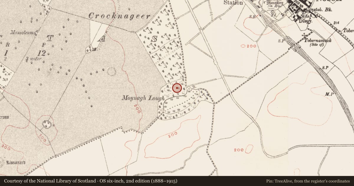
Slide toward Today to fade the historical sheet and see the modern map underneath.
David Rumsey Map Collection, Stanford LibrariesDavid Rumsey Map Collection, Stanford LibrariesDavid Rumsey Map Collection, Stanford LibrariesDavid Rumsey Map Collection, Stanford Libraries
4 historical maps cover this location, the earliest the 1636 map "Vltoniae Orientalis Pars" (David Rumsey Map Collection, Stanford Libraries).
Historical maps covering this location
- 1636 · Vltoniae Orientalis Pars (David Rumsey Map Collection, Stanford Libraries)
- 1790 · Composite: Ireland. (David Rumsey Map Collection, Stanford Libraries)
- 1811 · Ireland. (David Rumsey Map Collection, Stanford Libraries)
- 1891 · Ireland 16 (David Rumsey Map Collection, Stanford Libraries)
This record in the National Monuments Service's Historic Environment Viewer ↗
The National Monuments Service's description
The third occupation level of the crannog is constructed on a peat base and was the first major level (Phase Y) encountered when the crannog was excavated. It consists of a large (ME005-088013-) and a small (ME005-088012-) hut, and a furnace. The furnace, contemporary with the large round-house was just to its W. It was a bowl-shaped depression (diam. 0.45m) lined with calcareous mud inside which was ring of charcoal around the bloom. Associated finds included charcoal spreads, a crucible, fragments of moulds and a lead ingot. (Bradley 1982-3, 28; 1991, 16; O’Sullivan 1998, 107-08)
Compiled by: Michael Moore
Date of upload: 6 September 2018
References
O'Sullivan, A. 1998 The archaeology of lake settlement in Ireland. Discovery Programme Monograph No. 4. Dublin. Royal Irish Academy.
Bradley, J. 1991 Excavations at Moynagh Lough. Journal of the Royal Society of Antiquaries of Ireland 111, 5-26.
Bradley, J. 1982-3 Excavations at Moynagh Lough, Co. Meath 1980-81. Interim Report. Ríocht na Mídhe vol. 7, No. 2, 12-32.
Nearby in the register
- Metalworking siteunder 1 mi
- Crannogunder 1 mi
- Hut siteunder 1 mi
- Habitation siteunder 1 mi
Other entries of the same register within about three miles of this one, by straight line.