Sites and Monuments Record · Ireland
Ringfort - rath
Milford Demesne, County Mayo, Ireland
The record
- Townland
- Milford Demesne
- County
- Mayo
- Country
- Ireland
- First-edition OS map
- Not indicated
- Latest-edition OS map
- Not indicated
- Coordinates
- 53.57680, -9.05907
- SMR number
- MA122-050----
Slide toward Today to fade the historical sheet and see the modern map underneath.
David Rumsey Map Collection, Stanford LibrariesDavid Rumsey Map Collection, Stanford LibrariesDavid Rumsey Map Collection, Stanford LibrariesDavid Rumsey Map Collection, Stanford Libraries
4 historical maps cover this location, the earliest the 1753 map "Mappa geographica Regni Hiberniae" (David Rumsey Map Collection, Stanford Libraries).
Historical maps covering this location
- 1753 · Mappa geographica Regni Hiberniae (David Rumsey Map Collection, Stanford Libraries)
- 1790 · Composite: Ireland. (David Rumsey Map Collection, Stanford Libraries)
- 1869 · Ireland. (David Rumsey Map Collection, Stanford Libraries)
- 1891 · Ireland 16 (David Rumsey Map Collection, Stanford Libraries)
This record in the National Monuments Service's Historic Environment Viewer ↗
The National Monuments Service's description
In pasture, located on a low elevation with the steepest fall of ground to N. There are good views, restricted now to S−SW by trees and farmyard buildings.
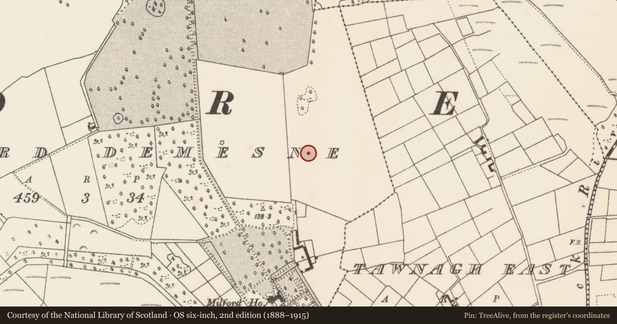
This enclosure, most likely a rath, was levelled at an unknown date in the past. It is not shown on any edition of the OS 6-inch maps, but the outline of a circular enclosure (diam. c. 35m) enclosed by a fosse with a possible external bank is clearly visible in Google Earth aerial imagery and Lidar imagery.
At ground level a slightly raised circular platform (c. 35m) is evident, defined on the perimeter by the broad slope of a levelled scarp which merges seamlessly with the surrounding ground. A cropmark/band of paler grass highlights the levelled bank on the W arc.
Notified to NMS by Jean-Charles Caillère.
Attached images:
MA122-050----_01.JPG Rath viewed from SW
MA122-050----_02.JPG GoogleEarth (11/24/2016)
MA122-050----_03.JPG Lidar imagery (Open Topographic viewer)
Compiled by: Jane O'Shaughnessy
Date of upload: 19 May 2022
Nearby in the register
- House - 16th/17th centuryunder 1 mi
- Enclosureunder 1 mi
- Enclosureunder 1 mi
- Enclosureunder 1 mi
Other entries of the same register within about three miles of this one, by straight line.