Sites and Monuments Record · Ireland
Enclosure
Carrowmore (Kilmaine By., Ballinrobe Par.), County Mayo, Ireland
The record
- Townland
- Carrowmore (Kilmaine By., Ballinrobe Par.)
- County
- Mayo
- Country
- Ireland
- First-edition OS map
- Not indicated
- Latest-edition OS map
- Not indicated
- Coordinates
- 53.60193, -9.21378
- SMR number
- MA118-065001-
Slide toward Today to fade the historical sheet and see the modern map underneath.
David Rumsey Map Collection, Stanford LibrariesDavid Rumsey Map Collection, Stanford LibrariesDavid Rumsey Map Collection, Stanford LibrariesDavid Rumsey Map Collection, Stanford Libraries
4 historical maps cover this location, the earliest the 1753 map "Mappa geographica Regni Hiberniae" (David Rumsey Map Collection, Stanford Libraries).
Historical maps covering this location
- 1753 · Mappa geographica Regni Hiberniae (David Rumsey Map Collection, Stanford Libraries)
- 1790 · Composite: Ireland. (David Rumsey Map Collection, Stanford Libraries)
- 1869 · Ireland. (David Rumsey Map Collection, Stanford Libraries)
- 1891 · Ireland 16 (David Rumsey Map Collection, Stanford Libraries)
This record in the National Monuments Service's Historic Environment Viewer ↗
The National Monuments Service's description
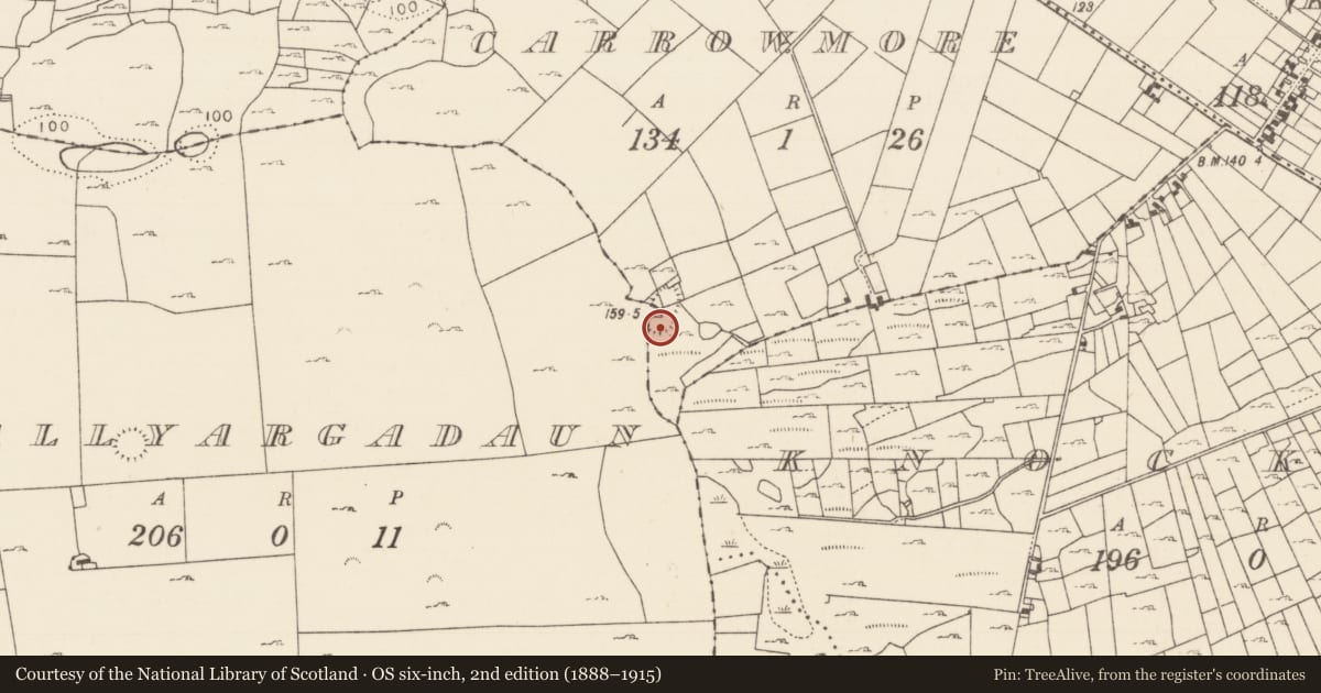
In pasture, on rise. This is the most southerly of two conjoined circular enclosures which appear on an aerial photograph (GSI). The second enclosure is SL118-065----. Slight traces of earthen banks visible on ground.
The above description has been derived from D. Lavelle (compiler), An Archaeological Survey of Ballinrobe and District including Lough Mask and Lough Carra. Lough Mask and Lough Carra Tourist Development Association (1994), No. 234.
Date of upload: 3 December 2013
Nearby in the register
- Enclosureunder 1 mi
- Ringfort - cashelunder 1 mi
- House - indeterminate dateunder 1 mi
- House - indeterminate dateunder 1 mi
Other entries of the same register within about three miles of this one, by straight line.