Sites and Monuments Record · Ireland
House - indeterminate date
Ballyglass Middle, County Mayo, Ireland
The record
- Townland
- Ballyglass Middle
- County
- Mayo
- Country
- Ireland
- First-edition OS map
- Indicated
- Latest-edition OS map
- Hachured
- Coordinates
- 53.71179, -8.72633
- SMR number
- MA103-039001-
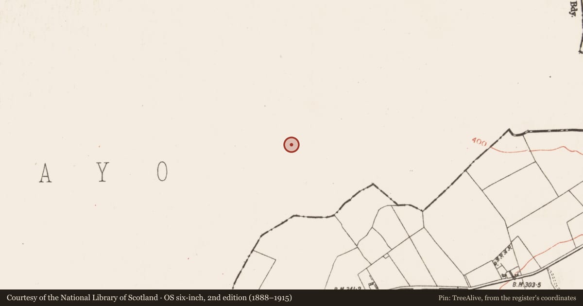
Slide toward Today to fade the historical sheet and see the modern map underneath.
David Rumsey Map Collection, Stanford LibrariesDavid Rumsey Map Collection, Stanford LibrariesDavid Rumsey Map Collection, Stanford LibrariesDavid Rumsey Map Collection, Stanford Libraries
4 historical maps cover this location, the earliest the 1753 map "Mappa geographica Regni Hiberniae" (David Rumsey Map Collection, Stanford Libraries).
Historical maps covering this location
- 1753 · Mappa geographica Regni Hiberniae (David Rumsey Map Collection, Stanford Libraries)
- 1790 · Composite: Ireland. (David Rumsey Map Collection, Stanford Libraries)
- 1869 · Ireland. (David Rumsey Map Collection, Stanford Libraries)
- 1891 · Ireland 16 (David Rumsey Map Collection, Stanford Libraries)
This record in the National Monuments Service's Historic Environment Viewer ↗
The National Monuments Service's description
In pasture, close to the break of slope on the N side of a ridge, c. 200m from the Mayo-Roscommon border. Good views to N and E, but restricted to SE by the rising brow of the ridge.
Circular platform (diam. 10m) defined by a bank (Wth 4.2m at S, 3.8m at N; int. H 0.2-0.3m; ext. H 0.6m at S, 0.8m at N). The bank has a low internal rim, merging almost seamlessly with a slightly sunken interior, creating a saucer-shaped profile. The platform, now ringed with hazel and hawthorn trees, is constructed of stony/gravelly soil, and is compact and well preserved. An external fosse (Wth c. 2m; D 0.5m) was noted during an earlier inspection (SMR file: OPW field notes 1978), but is no longer obvious.
This monument may be a circular house, possibly associated with a rath (MA103-040001-) which is located 100m to NW; alternatively, it may be the remains of a barrow. Another possible house (MA103-039002-), now levelled, is located c. 20m to E.
Compiled by: Jane O’Shaughnessy
Date of upload: 11 November 2022
Nearby in the register
- House - indeterminate dateunder 1 mi
- Ringfort - unclassifiedunder 1 mi
- Hut siteunder 1 mi
- Hut siteunder 1 mi
Other entries of the same register within about three miles of this one, by straight line.