Sites and Monuments Record · Ireland
Enclosure
Cloonboorhy, County Mayo, Ireland
The record
- Townland
- Cloonboorhy
- County
- Mayo
- Country
- Ireland
- First-edition OS map
- Not indicated
- Latest-edition OS map
- Not indicated
- Coordinates
- 53.74869, -9.23107
- SMR number
- MA100-164----
Slide toward Today to fade the historical sheet and see the modern map underneath.
David Rumsey Map Collection, Stanford LibrariesDavid Rumsey Map Collection, Stanford LibrariesDavid Rumsey Map Collection, Stanford LibrariesDavid Rumsey Map Collection, Stanford Libraries
4 historical maps cover this location, the earliest the 1753 map "Mappa geographica Regni Hiberniae" (David Rumsey Map Collection, Stanford Libraries).
Historical maps covering this location
- 1753 · Mappa geographica Regni Hiberniae (David Rumsey Map Collection, Stanford Libraries)
- 1790 · Composite: Ireland. (David Rumsey Map Collection, Stanford Libraries)
- 1869 · Ireland. (David Rumsey Map Collection, Stanford Libraries)
- 1891 · Ireland 16 (David Rumsey Map Collection, Stanford Libraries)
This record in the National Monuments Service's Historic Environment Viewer ↗
The National Monuments Service's description
In pasture, on a broad terrace, bordered by a steeply rising slope on the E side and by a fall of ground to W. The enclosure is sited on a low rise close to the W edge of the terrace, overlooking a flat expanse of damp ground.
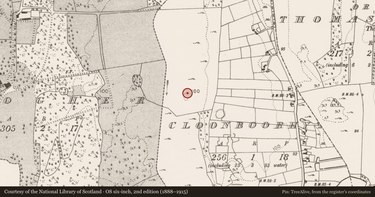
This enclosure is not indicated on the OS 6-inch maps. It has been partly levelled and the remains are very low profile at ground level. It is evident as a roughly circular area (26.5m E−W; c. 26m N−S) defined on the S half by a low scarp (H 0.3m at E, 0.6m at S), which retains a slight internal lip in parts, with a broader rise (Wth 3.5; int. H 0.45m) at W. The outline of the N arc is barely discernible. The interior is level, and does not appear significantly raised above exterior ground level. A post and wire fence extends across the centre of the enclosure on an E−W axis. A field boundary abuts the enclosure at N and a low undulation, possibly the remnants of a field boundary, extends to E from the SW edge of the enclosure.
Attached images:
MA100-164----_01.JPG Viewed from N
MA100-164----_02.JPG Viewed from E
Compiled by: Jane O’Shaughnessy
Date of upload: 19 March 20
Nearby in the register
- Souterrainunder 1 mi
- Ringfort - rathunder 1 mi
- Enclosureunder 1 mi
- Enclosureunder 1 mi
Other entries of the same register within about three miles of this one, by straight line.