Sites and Monuments Record · Ireland
Ringfort - rath
Brackloon North, County Mayo, Ireland
The record
- Townland
- Brackloon North
- County
- Mayo
- Country
- Ireland
- First-edition OS map
- Indicated
- Latest-edition OS map
- Hachured
- Coordinates
- 53.79306, -8.70976
- SMR number
- MA093-032----
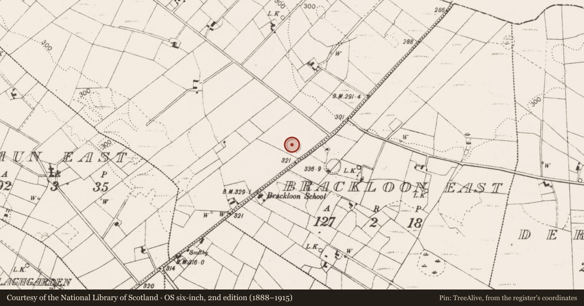
Slide toward Today to fade the historical sheet and see the modern map underneath.
David Rumsey Map Collection, Stanford LibrariesDavid Rumsey Map Collection, Stanford LibrariesDavid Rumsey Map Collection, Stanford LibrariesDavid Rumsey Map Collection, Stanford Libraries
4 historical maps cover this location, the earliest the 1790 map "Composite: Ireland." (David Rumsey Map Collection, Stanford Libraries).
Historical maps covering this location
- 1790 · Composite: Ireland. (David Rumsey Map Collection, Stanford Libraries)
- 1857 · Ireland (David Rumsey Map Collection, Stanford Libraries)
- 1869 · Ireland. (David Rumsey Map Collection, Stanford Libraries)
- 1891 · Ireland 16 (David Rumsey Map Collection, Stanford Libraries)
This record in the National Monuments Service's Historic Environment Viewer ↗
The National Monuments Service's description
In pasture, located on the gentle S-facing slope of a rise, with rather restricted views over the surrounding undulating terrain.
Slightly raised circular area (36m E–W; 37.5m N–S) defined SW–NE by an earthen bank (Wth 3.5m; int. H 0.2m; ext. H 1.1m at NNE) and elsewhere by a scarp (H 1.4m at S), outside which it is enclosed by a fosse (Wth 3m) with an external bank (Wth 1.8m; int. H 0.55m; ext. H 0.2m at NNE).
There is a slumped break (Wth 1.6m) in the bank/scarp at SE, but it is unclear if this represents an original entrance. The fosse is largely infilled and reduced to a shallow depression. The external bank is well defined at on the N half but has been levelled on the S half to a slight undulation. The interior slopes down gently from N to S–SW, and has an uneven surface, engulfed in long grass and weeds. The perimeter is moderately ringed with hawthorn and blackthorn bushes. Another rath (MA093-033----) is located 100m to ESE and is visible from this one.
Compiled by: Jane O’Shaughnessy
Date of upload: 17 June 2022
Nearby in the register
- Ringfort - rathunder 1 mi
- Ringfort - rathunder 1 mi
- Enclosureunder 1 mi
- Ringfort - rathunder 1 mi
Other entries of the same register within about three miles of this one, by straight line.