Sites and Monuments Record · Ireland
Bawn
Knockaunakill, County Mayo, Ireland
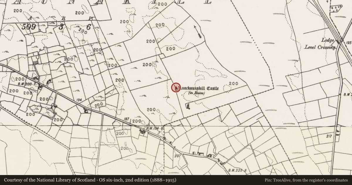
The record
- Townland
- Knockaunakill
- County
- Mayo
- Country
- Ireland
- First-edition OS map
- Not indicated
- Latest-edition OS map
- Not indicated
- Coordinates
- 53.75777, -9.07216
- SMR number
- MA091-019001-
Slide toward Today to fade the historical sheet and see the modern map underneath.
David Rumsey Map Collection, Stanford LibrariesDavid Rumsey Map Collection, Stanford LibrariesDavid Rumsey Map Collection, Stanford LibrariesDavid Rumsey Map Collection, Stanford Libraries
4 historical maps cover this location, the earliest the 1753 map "Mappa geographica Regni Hiberniae" (David Rumsey Map Collection, Stanford Libraries).
Historical maps covering this location
- 1753 · Mappa geographica Regni Hiberniae (David Rumsey Map Collection, Stanford Libraries)
- 1790 · Composite: Ireland. (David Rumsey Map Collection, Stanford Libraries)
- 1869 · Ireland. (David Rumsey Map Collection, Stanford Libraries)
- 1891 · Ireland 16 (David Rumsey Map Collection, Stanford Libraries)
This record in the National Monuments Service's Historic Environment Viewer ↗
The National Monuments Service's description
In pasture, located on terrace on the W side of a limestone knoll on which a castle (MA091-019----) is located.
Wall footings, evident as a low sod-covered stony rise, define the S, W and N sides of a square enclosure (22.5m N–S; c. 20m E–W) encompassing a terrace on the W side of the knoll. This may be the remains of a bawn associated with Knockaunakill Castle (MA091-019----), a possible tower house, the remnants of which are located on a rocky rise in the SE angle of the enclosure/bawn. It should be noted that the walls of the castle are on a slightly different alignment (NNW−SSE and WSW−ENE) to those of the enclosure/possible bawn. The E side of the enclosure is now defined by a modern N−S property wall, which cuts across the remains of the castle. The exact position of the original E wall of the enclosure, and its relationship to the castle, is unclear.
There is a hint of an E–W internal division in the S half of the bawn/enclosure, and another rectangular enclosure or field plot (c. 16-18m N−S; c. 14m E−W), outlined by slight wall footings, is appended to it at N.
Compiled by: Jane O’Shaughnessy
Date of upload: 9 February 2022
Nearby in the register
- Castle - tower houseunder 1 mi
- Fulacht fiaunder 1 mi
- Fulacht fiaunder 1 mi
- Ringfort - rathunder 1 mi
Other entries of the same register within about three miles of this one, by straight line.