Sites and Monuments Record · Ireland
Cairn - unclassified
Bunnamohaun, County Mayo, Ireland
The record
- Townland
- Bunnamohaun
- County
- Mayo
- Country
- Ireland
- First-edition OS map
- Not indicated
- Latest-edition OS map
- Not indicated
- Coordinates
- 53.80211, -10.04062
- SMR number
- MA084-036----
Slide toward Today to fade the historical sheet and see the modern map underneath.
David Rumsey Map Collection, Stanford LibrariesDavid Rumsey Map Collection, Stanford LibrariesDavid Rumsey Map Collection, Stanford LibrariesDavid Rumsey Map Collection, Stanford Libraries
4 historical maps cover this location, the earliest the 1790 map "Composite: Ireland." (David Rumsey Map Collection, Stanford Libraries).
Historical maps covering this location
- 1790 · Composite: Ireland. (David Rumsey Map Collection, Stanford Libraries)
- 1841 · Ireland. (David Rumsey Map Collection, Stanford Libraries)
- 1869 · Ireland. (David Rumsey Map Collection, Stanford Libraries)
- 1891 · Ireland 16 (David Rumsey Map Collection, Stanford Libraries)
This record in the National Monuments Service's Historic Environment Viewer ↗
The National Monuments Service's description
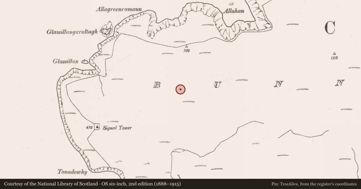
At the NW end of Clare Island, located on a small terrace, on the S-facing slope of a rocky knoll. High cliffs drop to the sea c. 200m to N. The terrace faces W and S, providing good views over a broad, open expanse of coastal commonage.
This is evident as a low, loose concentration (8-10m ESE–WNW; 2.5-3m NNE–SSW) of large stones, partly sod-bound. A few stones appear to be set, in particular a small arc (c. 2m across) of stones appended to the SW edge of the cairn. The nature of monument is uncertain; it appears to be a very ruined cairn, but it may be the remnants of hut site, or the remnants of a cairn which was reused as a hut site.
There is a possible hut site (MA084-037----) located 45m to N. Relict field walls, part of an extensive field system (MA084-001001-), are located close by on the W, N and E slopes the knoll. One wall, c. 40m to N, describes an irregular, meandering arc (c. 35m N–S) across the E slope of the knoll.
Notified to NMS by Michael Gibbons.
Compiled by: Jane O'Shaughnessy
Date of upload: 22 January 2020
Nearby in the register
Other entries of the same register within about three miles of this one, by straight line.