Sites and Monuments Record · Ireland
Ringfort - cashel
Ballyhine, County Mayo, Ireland
The record
- Townland
- Ballyhine
- County
- Mayo
- Country
- Ireland
- First-edition OS map
- Not indicated
- Latest-edition OS map
- Not indicated
- Coordinates
- 53.82528, -8.78631
- SMR number
- MA082-029----
Slide toward Today to fade the historical sheet and see the modern map underneath.
David Rumsey Map Collection, Stanford LibrariesDavid Rumsey Map Collection, Stanford LibrariesDavid Rumsey Map Collection, Stanford LibrariesDavid Rumsey Map Collection, Stanford Libraries
4 historical maps cover this location, the earliest the 1790 map "Composite: Ireland." (David Rumsey Map Collection, Stanford Libraries).
Historical maps covering this location
- 1790 · Composite: Ireland. (David Rumsey Map Collection, Stanford Libraries)
- 1857 · Ireland (David Rumsey Map Collection, Stanford Libraries)
- 1869 · Ireland. (David Rumsey Map Collection, Stanford Libraries)
- 1891 · Ireland 16 (David Rumsey Map Collection, Stanford Libraries)
This record in the National Monuments Service's Historic Environment Viewer ↗
The National Monuments Service's description
In pasture, located on rising ground with good views to S–SW. At the base of the slope 15-20m to N−NE there are a number of ruined vernacular farm buildings, bordering a road.
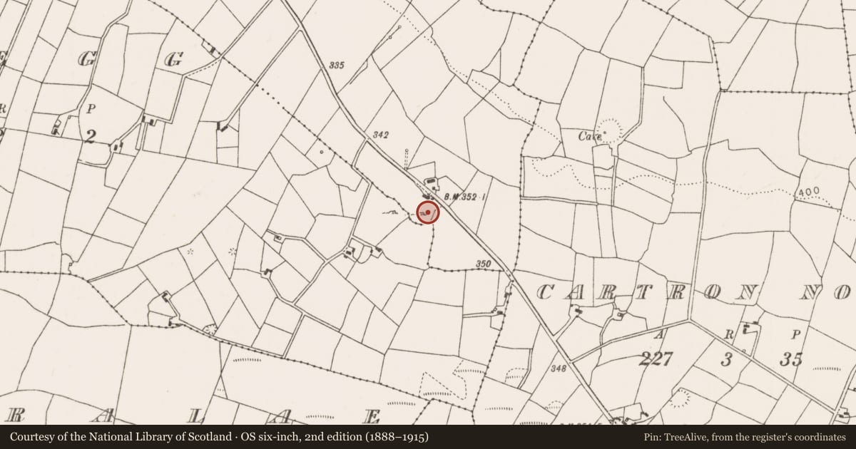
This possible cashel is not indicated on any edition of the OS 6-inch maps. It consists of a broadly oval area (34.5m N–S; 44.2m E–W) enclosed E–NW by a drystone wall and elsewhere by a low stony rise. The extant drystone wall (Wth c. 0.8m; int. H 0.6m; ext. H 0.8m) is a relatively recent field wall, which coincides with the townland boundary. In parts it appears to rest upon a low stony plinth, possibly the remnants of an original enclosing wall. Original wall footing may also survive in the stony rise enclosing the N–NE perimeter. The interior, which has a marked slope down to SW, is planted with mature conifers, except for an area in the W–NW which is engulfed in brambles and blackthorn. Quarrying on the slope at N has encroached slightly on the N arc of the enclosure.
Compiled by: Jane O’Shaughnessy
Date of upload: 20 December 2021
Nearby in the register
- Barrow - unclassifiedunder 1 mi
- Standing stoneunder 1 mi
- Souterrainunder 1 mi
- Ringfort - rathunder 1 mi
Other entries of the same register within about three miles of this one, by straight line.