Sites and Monuments Record · Ireland
Hut site
Acaill Bheag, County Mayo, Ireland
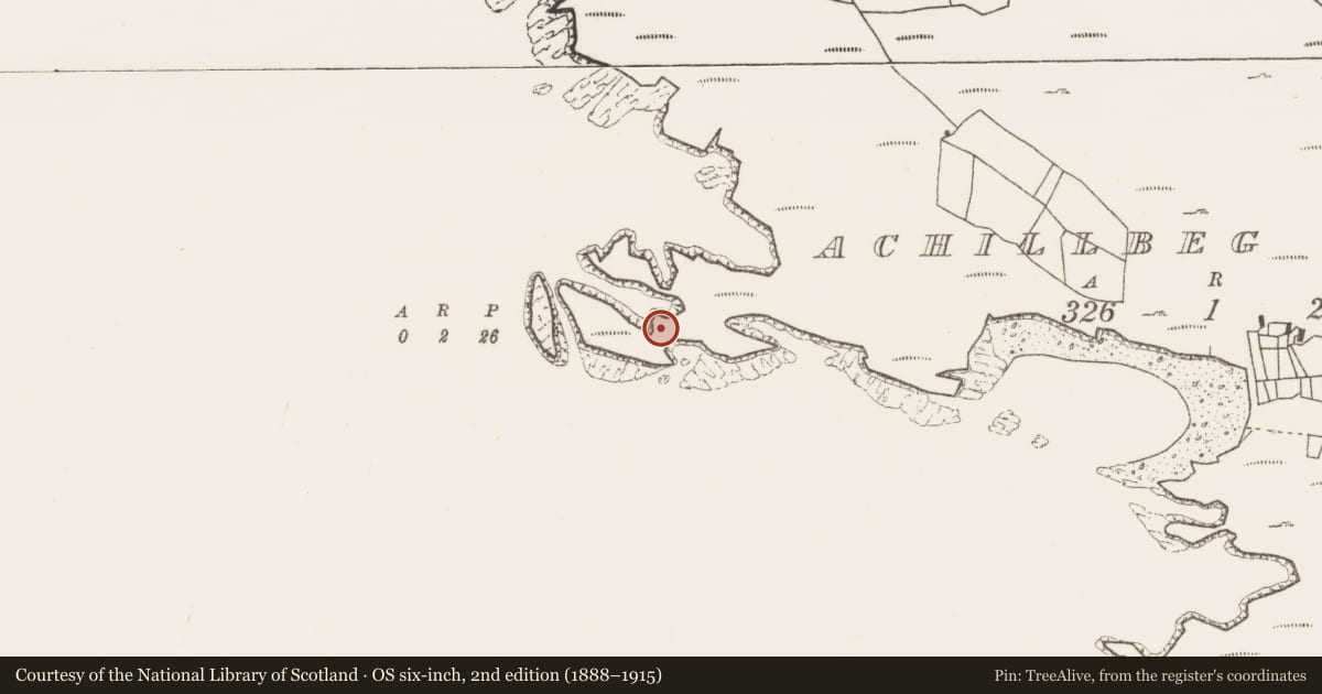
The record
- Townland
- Acaill Bheag
- County
- Mayo
- Country
- Ireland
- First-edition OS map
- Not indicated
- Latest-edition OS map
- Hut
- Coordinates
- 53.86642, -9.96472
- SMR number
- MA075-001004-
Slide toward Today to fade the historical sheet and see the modern map underneath.
David Rumsey Map Collection, Stanford LibrariesDavid Rumsey Map Collection, Stanford LibrariesDavid Rumsey Map Collection, Stanford LibrariesDavid Rumsey Map Collection, Stanford Libraries
4 historical maps cover this location, the earliest the 1753 map "Mappa geographica Regni Hiberniae" (David Rumsey Map Collection, Stanford Libraries).
Historical maps covering this location
- 1753 · Mappa geographica Regni Hiberniae (David Rumsey Map Collection, Stanford Libraries)
- 1790 · Composite: Ireland. (David Rumsey Map Collection, Stanford Libraries)
- 1869 · Ireland. (David Rumsey Map Collection, Stanford Libraries)
- 1891 · Ireland 16 (David Rumsey Map Collection, Stanford Libraries)
This record in the National Monuments Service's Historic Environment Viewer ↗
The National Monuments Service's description
Built into a berm in the enclosing defenses of a promontory fort (MA075-001003-). This hut site was first recorded by Westropp (1911, 31; 1914, 314) who described it as ‘an early oval hut 27 feet [c. 8m] north and south, and 32 feet [c. 10m] east and west, the walls 6 to 10 feet [c. 2-3m] thick’. Casey (1999, 97-100) found ‘the remains of a low circular structure, 9m in internal diameter and many slabs lying about the interior of this enclosure suggest it was of stone.’
Compiled by: Jane O'Shaughnessy
Date of upload: 7 August 2015
References
Casey, M. 1999 The coastal promontory forts of Ireland. A survey of counties Sligo, Mayo, Galway and Clare. Unpublished MA thesis, National University of Ireland, Galway.
Westropp T. J. 1911 Notes on the larger cliff-forts of the west coast of County Mayo. Proceedings of the Royal Irish Academy 29, 11-33
Westropp, T.J. 1914 The promontory forts and early remains of the islands of Connacht. Journal of the Royal Society of Antiquaries of Ireland 44, 297-337.
Nearby in the register
- Promontory fort - coastalunder 1 mi
- Gatehouseunder 1 mi
- Promontory fort - coastalunder 1 mi
- Hut siteunder 1 mi
Other entries of the same register within about three miles of this one, by straight line.