Sites and Monuments Record · Ireland
Graveslab
Strade, County Mayo, Ireland
The record
- Townland
- Strade
- County
- Mayo
- Country
- Ireland
- First-edition OS map
- Not indicated
- Latest-edition OS map
- Not indicated
- Coordinates
- 53.92140, -9.12878
- SMR number
- MA070-067004-
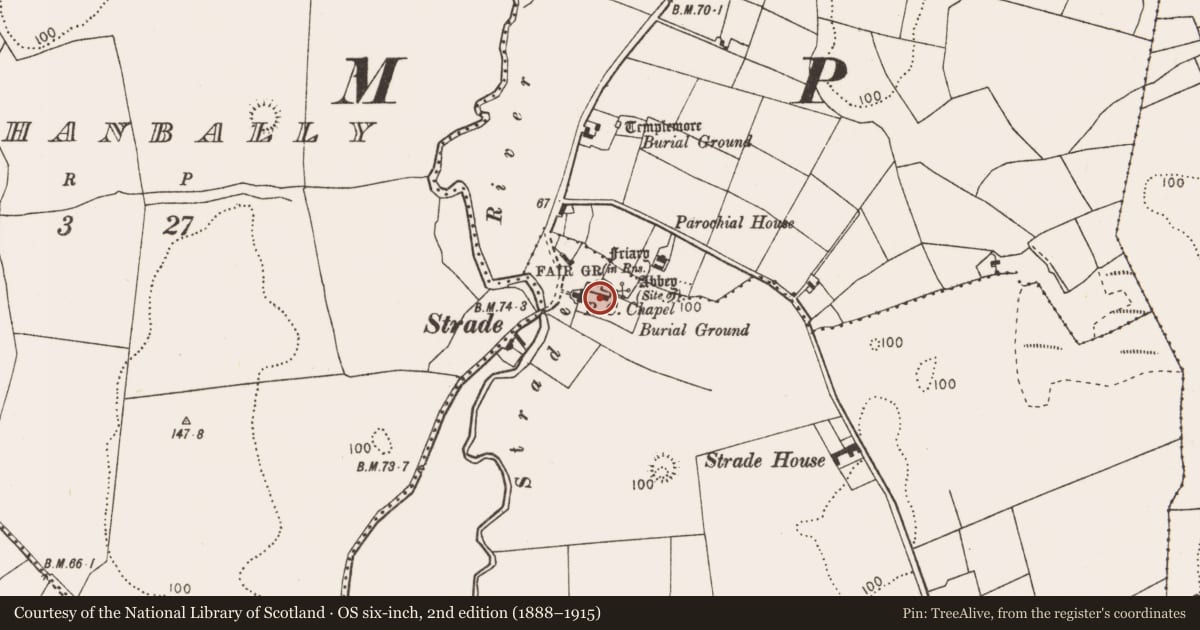
Slide toward Today to fade the historical sheet and see the modern map underneath.
David Rumsey Map Collection, Stanford LibrariesDavid Rumsey Map Collection, Stanford LibrariesDavid Rumsey Map Collection, Stanford LibrariesDavid Rumsey Map Collection, Stanford Libraries
4 historical maps cover this location, the earliest the 1753 map "Mappa geographica Regni Hiberniae" (David Rumsey Map Collection, Stanford Libraries).
Historical maps covering this location
- 1753 · Mappa geographica Regni Hiberniae (David Rumsey Map Collection, Stanford Libraries)
- 1790 · Composite: Ireland. (David Rumsey Map Collection, Stanford Libraries)
- 1869 · Ireland. (David Rumsey Map Collection, Stanford Libraries)
- 1891 · Ireland 16 (David Rumsey Map Collection, Stanford Libraries)
This record in the National Monuments Service's Historic Environment Viewer ↗
The National Monuments Service's description
Located in Strade Dominican friary (MA070-067001-), one of a group of five (see also MA070-067007- to MA070-067010-) displayed against the S wall of the chancel. This graveslab (L 1.9m), which is tapered or wedge-shaped with chamfered sides, was the lid of a coffin-tomb. It is nearly fully intact, missing only its lower right-hand corner, and possibly part of its lower extremity, where the edge appears raw and is not chamfered. It bears a large bottonée or foliated cross in low relief, with the top and arms of the cross terminating in trefoils. Two additional arms placed at a diagonal, angled upwards, are placed roughly centrally on the shaft of the cross, also terminating in trefoils; these are unusual features and it has been suggested that they may have been designed to represent the Christ's arms on the cross (McDermott 2009, 99). The foliated cross is a design typical of Anglo-Norman tombs; it has been found in Bannow, Co. Wexford (WX044-045007-) and Kilkenny Dominican friary (KK019-026021-) and suggests a thirteenth-century date for the grave-slab (McDermott 2009, 100). At least two of the other grave-slabs (MA070-067009-; MA070-067010-) at Strade bear a similar design.
Attached image:
MA070-067004-_01.JPG
Compiled by: Anne-Julie Lafaye
Date of upload: 29 September 2020
References
McDermott, Y. 2009 Strade Friary: Patronage and development at a medieval mendicant friary. Cathair na Mart 27, 92-108.
Nearby in the register
Other entries of the same register within about three miles of this one, by straight line.