Sites and Monuments Record · Ireland
Ringfort - rath
Knockshanbally, County Mayo, Ireland
The record
- Townland
- Knockshanbally
- County
- Mayo
- Country
- Ireland
- First-edition OS map
- Indicated
- Latest-edition OS map
- Hachured
- Coordinates
- 53.92366, -9.13599
- SMR number
- MA070-063----
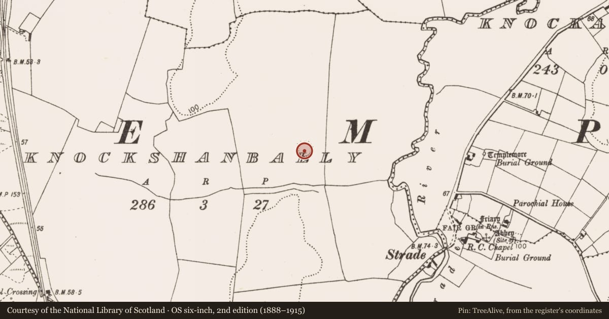
Slide toward Today to fade the historical sheet and see the modern map underneath.
David Rumsey Map Collection, Stanford LibrariesDavid Rumsey Map Collection, Stanford LibrariesDavid Rumsey Map Collection, Stanford LibrariesDavid Rumsey Map Collection, Stanford Libraries
4 historical maps cover this location, the earliest the 1753 map "Mappa geographica Regni Hiberniae" (David Rumsey Map Collection, Stanford Libraries).
Historical maps covering this location
- 1753 · Mappa geographica Regni Hiberniae (David Rumsey Map Collection, Stanford Libraries)
- 1790 · Composite: Ireland. (David Rumsey Map Collection, Stanford Libraries)
- 1869 · Ireland. (David Rumsey Map Collection, Stanford Libraries)
- 1891 · Ireland 16 (David Rumsey Map Collection, Stanford Libraries)
This record in the National Monuments Service's Historic Environment Viewer ↗
The National Monuments Service's description
In pasture on a low drumlin from where the ground falls most steeply towards the E and the N-flowing Strade River c. 230m to the E. An outbuilding stands c. 10m to the ESE and there is a dwelling house c. 35m to the NE. A roughly circular area (int. diam. c. 30m) is defined by an inner scarp which is lowest (ext. H 0.2m) from ESE-S-SW but much higher (ext. H 1.5-2m) elsewhere. Remains of a fosse (Wth 3m) enclosing the scarp survive along the N and the line of the fosse is traceable as a wide berm (Wth 4.5m; ext. H 0.5m) from SW-W-NW. An overgrown outer earthen bank (int. H 0.5m over base of fosse; Wth 2.5m; ext. H 1.7m) survives along the N, outside the surviving section of fosse. A later earthen field boundary runs N-S subdividing the interior into a western third and an eastern two-thirds. The W portion of the interior is rough and slightly uneven underfoot while the larger, eastern portion is generally level and under grass.
Date of visit: 16-04-2025
Compiled by: Gearóid Conroy
Nearby in the register
- Churchunder 1 mi
- Ringfort - rathunder 1 mi
- Graveyardunder 1 mi
- Megalithic tomb - wedge tombunder 1 mi
Other entries of the same register within about three miles of this one, by straight line.