Sites and Monuments Record · Ireland
Megalithic tomb - wedge tomb
Clooncous, County Mayo, Ireland
The record
- Townland
- Clooncous
- County
- Mayo
- Country
- Ireland
- First-edition OS map
- Not indicated
- Latest-edition OS map
- Not indicated
- Coordinates
- 53.96174, -8.75247
- SMR number
- MA063-063----
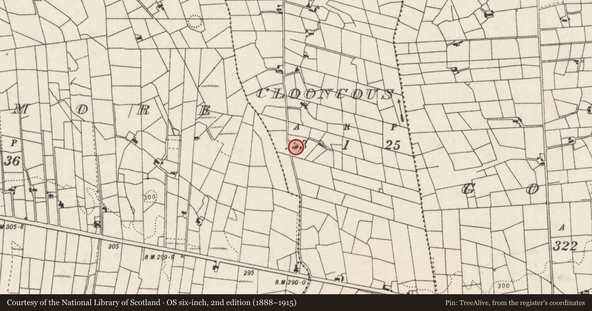
Slide toward Today to fade the historical sheet and see the modern map underneath.
David Rumsey Map Collection, Stanford LibrariesDavid Rumsey Map Collection, Stanford LibrariesDavid Rumsey Map Collection, Stanford LibrariesDavid Rumsey Map Collection, Stanford Libraries
4 historical maps cover this location, the earliest the 1790 map "Composite: Ireland." (David Rumsey Map Collection, Stanford Libraries).
Historical maps covering this location
- 1790 · Composite: Ireland. (David Rumsey Map Collection, Stanford Libraries)
- 1857 · Ireland (David Rumsey Map Collection, Stanford Libraries)
- 1869 · Ireland. (David Rumsey Map Collection, Stanford Libraries)
- 1891 · Ireland 16 (David Rumsey Map Collection, Stanford Libraries)
This record in the National Monuments Service's Historic Environment Viewer ↗
The National Monuments Service's description
In undulating pasture, located on a low rise with good views of Nephin Mountain to W and the Ox Mountain range to NW–N. There is a stream c. 50m to W.
A sub-circular cairn (17.2m E–W; 14m N–S; H 1.4m at W, 1.8m at E) covering an orthostatic gallery or chamber (Wth 0.8m), aligned NE–SW. The cairn, which is partly sod-covered, has been truncated by quarrying at S and W.
Quarrying of the W side of the cairn has exposed a short section (L 3m) of the gallery. Three contiguous orthostats or large upright boulders (H c. 0.5m) are visible, which form part of the W side of the gallery. The tops of three corresponding orthostats on the E side of the gallery can be glimpsed. Three roof slabs span the width of the gallery between the visible side stones. The gallery is infilled with earth to a height of 0.25m below the capstones. Stones protrude from the perimeter/edge of the cairn in an apparently random manner, but at the N–NE there is the suggestion of a kerb or outer walling.
Compiled by: Jane O’Shaughnessy
Date of upload: 9 December 2020
Nearby in the register
- Enclosureunder 1 mi
- Enclosureunder 1 mi
- Ringfort - rathunder 1 mi
- Children's burial groundunder 1 mi
Other entries of the same register within about three miles of this one, by straight line.