Sites and Monuments Record · Ireland
Moated site
Roosky (Costello By., Kilbeagh Par.), County Mayo, Ireland
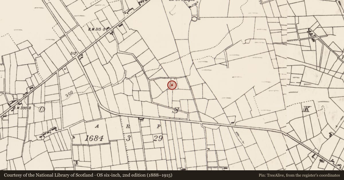
The record
- Townland
- Roosky (Costello By., Kilbeagh Par.)
- County
- Mayo
- Country
- Ireland
- First-edition OS map
- Indicated
- Latest-edition OS map
- Hachured
- Coordinates
- 53.99890, -8.67156
- SMR number
- MA051-005----
Slide toward Today to fade the historical sheet and see the modern map underneath.
David Rumsey Map Collection, Stanford LibrariesDavid Rumsey Map Collection, Stanford LibrariesDavid Rumsey Map Collection, Stanford LibrariesDavid Rumsey Map Collection, Stanford Libraries
4 historical maps cover this location, the earliest the 1790 map "Composite: Ireland." (David Rumsey Map Collection, Stanford Libraries).
Historical maps covering this location
- 1790 · Composite: Ireland. (David Rumsey Map Collection, Stanford Libraries)
- 1811 · Ireland. (David Rumsey Map Collection, Stanford Libraries)
- 1869 · Ireland. (David Rumsey Map Collection, Stanford Libraries)
- 1891 · Ireland 16 (David Rumsey Map Collection, Stanford Libraries)
This record in the National Monuments Service's Historic Environment Viewer ↗
The National Monuments Service's description
In rough, rush-grown pasture, located on a slight S-facing slope. There are very good views to S and good views E and W; views to N are restricted by rising ground, and by field fences and trees.
This possible moated site is shown as a circular embanked enclosure on 1838 OS 6-inch map; as trapezoidal on the 25-inch plan and as subrectangular on the 1919 OS 6-inch.
Roughly trapezoidal earthen platform (28.5m N−S; c. 20m E−W at N, 25m at S) defined by a bank/scarp (H 1m at N; Wth 3.5m; int. H 0.2m; ext. H 1m at S) which retains a slightly raised internal rim, and enclosed by an external fosse. At N the fosse is evident as a band (Wth 2m) of rushes and yellow flag iris; on the SE, S and W sides the fosse (W 2m at S, 2.5-3m at W; D 0.3) is evident as a rush-grown depression which merges with later field drains –it is difficult to determine to what extent its current appearance is original or results from cutting/recutting of field drains. There are traces of ridge and furrow on a N-S axis in the level interior.
Compiled by: Jane O'Shaughnessy
Date of upload: 17 June 2020
Nearby in the register
- Ringfort - rathunder 1 mi
- Moated siteunder 1 mi
- Ringfort - rathunder 1 mi
- Ringfort - rathunder 1 mi
Other entries of the same register within about three miles of this one, by straight line.