Sites and Monuments Record · Ireland
Souterrain
Corrower, County Mayo, Ireland
The record
- Townland
- Corrower
- County
- Mayo
- Country
- Ireland
- Latest-edition OS map
- Not indicated
- Coordinates
- 54.07974, -9.08326
- SMR number
- MA040-042001-
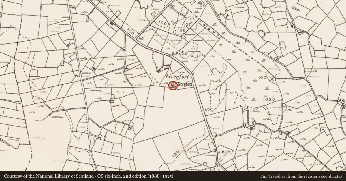
Slide toward Today to fade the historical sheet and see the modern map underneath.
David Rumsey Map Collection, Stanford LibrariesDavid Rumsey Map Collection, Stanford LibrariesDavid Rumsey Map Collection, Stanford LibrariesDavid Rumsey Map Collection, Stanford Libraries
4 historical maps cover this location, the earliest the 1790 map "Composite: Ireland." (David Rumsey Map Collection, Stanford Libraries).
Historical maps covering this location
- 1790 · Composite: Ireland. (David Rumsey Map Collection, Stanford Libraries)
- 1841 · Ireland. (David Rumsey Map Collection, Stanford Libraries)
- 1869 · Ireland. (David Rumsey Map Collection, Stanford Libraries)
- 1891 · Ireland 16 (David Rumsey Map Collection, Stanford Libraries)
This record in the National Monuments Service's Historic Environment Viewer ↗
The National Monuments Service's description
Located in a ringfort (MA040-042). This souterrain is L-shaped in plan, consisting of an E−W passage, at the W end of which there is a chamber, which extends to S.
In the centre of the ringfort interior there is a sunken area (1.8m E−W; 1.50m N−S), the W side of which incorporates a lintelled opening (Wth 0.99m; H 0.69m) to a passage (Wth 0.94m; H 0.88m) of dry-stone construction. The walls of the passage consist of two to three courses of large roughly rectangular stone blocks, with a slight corbelling at the top to support the massive roof lintels. The passage extends for 3.65m to W, ending in a short lintelled constriction (Wth 0.5m; H 0.6m), which drops abruptly at its W edge into the NE end of a chamber (3.4m N−S; 1.9m E-W; H 1.7m). The chamber is roughly oval in plan, with its floor at a depth of 0.7m below that of the passage. The N wall of the chamber is more or less on the same E−W line with the N wall of the passage, and the long axis of the chamber extends to S of the passage.
The walls of the chamber are rock-cut from floor level to a height of 0.5-0.7m, above which they are of dry-stone construction, with a slight corbelling at top to support the massive roof lintels. Towards the S end of the E wall there is a recess (Wth 0.77m; H 0.7m) that extends into the wall to a depth of 0.7m, narrowing at the back to a width of 0.64m. A small, partly blocked, opening at the back of the recess may be an air vent.
The floor in both the passage and the chamber is earth covered. There is a spread of loose stone at the W end of the passage and a heap of large stones at the S end of the chamber.
Compiled by: Jane O’Shaughnessy
Date of upload: 25 May 2020
Nearby in the register
- Ringfort - unclassifiedunder 1 mi
- Enclosureunder 1 mi
- Ringfort - rathunder 1 mi
- Enclosureunder 1 mi
Other entries of the same register within about three miles of this one, by straight line.