Sites and Monuments Record · Ireland
Mound
Drumsheen, County Mayo, Ireland
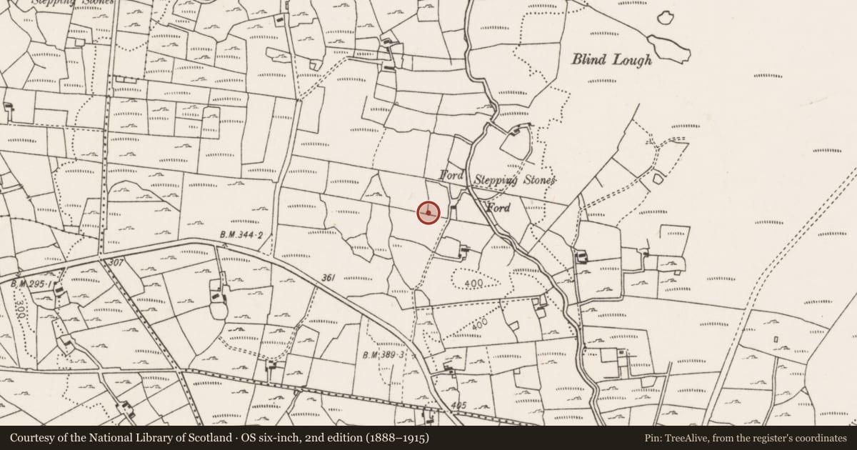
The record
- Townland
- Drumsheen
- County
- Mayo
- Country
- Ireland
- First-edition OS map
- Not indicated
- Latest-edition OS map
- Not indicated
- Coordinates
- 54.11391, -9.00477
- SMR number
- MA031-063001-
Slide toward Today to fade the historical sheet and see the modern map underneath.
David Rumsey Map Collection, Stanford LibrariesDavid Rumsey Map Collection, Stanford LibrariesDavid Rumsey Map Collection, Stanford LibrariesDavid Rumsey Map Collection, Stanford Libraries
4 historical maps cover this location, the earliest the 1790 map "Composite: Ireland." (David Rumsey Map Collection, Stanford Libraries).
Historical maps covering this location
- 1790 · Composite: Ireland. (David Rumsey Map Collection, Stanford Libraries)
- 1841 · Ireland. (David Rumsey Map Collection, Stanford Libraries)
- 1869 · Ireland. (David Rumsey Map Collection, Stanford Libraries)
- 1891 · Ireland 16 (David Rumsey Map Collection, Stanford Libraries)
This record in the National Monuments Service's Historic Environment Viewer ↗
The National Monuments Service's description
In average pasture, on the narrow top of a N–S ridge, with extensive views in all directions of the surrounding sharply undulating terrain of mixed pasture and bog. There is a stream c. 100m to E, beyond which there are expanses of bog, with the Ox Mountains defining the far horizon.
A sod-covered mound (5.3m N–S; 6.7m E-W; H 1.3m) of earth and stone, roughly oblong in plan, with a flat top. The W end of the mound is rounded or curving; the E end is poorly defined and broadly slumped. An upright slab (H 0.8m; Wth 0.9m; T 0.2m) tapering to a narrow point at top, with long axis E-W, is set deeply in the flat top of the mound. A denuded section of the mound on N side revealed a basal layer (D 0.3m) of orange, sandy silt with some small stones, above which the mound is composed of grey-brown, stony soil. A large boulder is incorporated into the N side of the mound, and a hawthorn bush grows from the base of the slope. A field wall on an E-W axis lies immediately to N. A standing stone (MA031-063----) is located 1.4m to E of the mound.
Compiled by: Jane O'Shaughnessy
Date of upload: 4 July 2018
Nearby in the register
- Standing stoneunder 1 mi
- Megalithic tomb - unclassifiedunder 1 mi
- Enclosureunder 1 mi
- Field systemunder 1 mi
Other entries of the same register within about three miles of this one, by straight line.