Sites and Monuments Record · Ireland
Cross-inscribed stone
Rosserk, County Mayo, Ireland
The record
- Townland
- Rosserk
- County
- Mayo
- Country
- Ireland
- First-edition OS map
- Not indicated
- Latest-edition OS map
- Not indicated
- Coordinates
- 54.16345, -9.17558
- SMR number
- MA022-079----
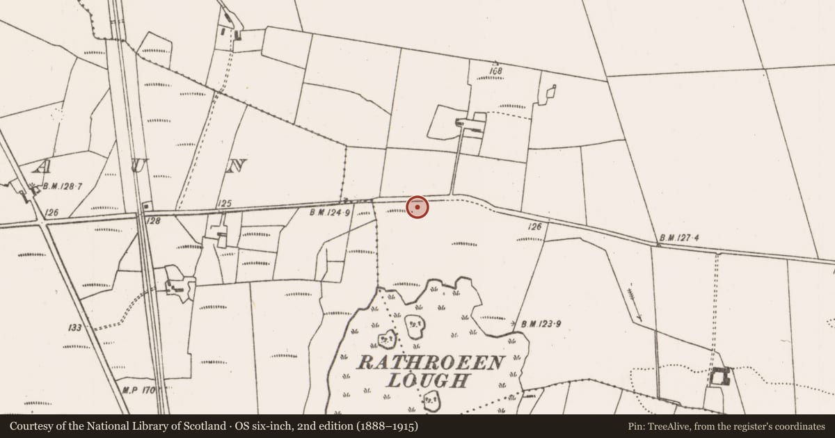
Slide toward Today to fade the historical sheet and see the modern map underneath.
David Rumsey Map Collection, Stanford LibrariesDavid Rumsey Map Collection, Stanford LibrariesDavid Rumsey Map Collection, Stanford LibrariesDavid Rumsey Map Collection, Stanford Libraries
4 historical maps cover this location, the earliest the 1790 map "Composite: Ireland." (David Rumsey Map Collection, Stanford Libraries).
Historical maps covering this location
- 1790 · Composite: Ireland. (David Rumsey Map Collection, Stanford Libraries)
- 1841 · Ireland. (David Rumsey Map Collection, Stanford Libraries)
- 1869 · Ireland. (David Rumsey Map Collection, Stanford Libraries)
- 1891 · Ireland 16 (David Rumsey Map Collection, Stanford Libraries)
This record in the National Monuments Service's Historic Environment Viewer ↗
The National Monuments Service's description
In pasture, located in a large rectangular field of flat, rush-grown damp peaty ground.
A cross inscribed stone was noted at roughly this location by a Dr. Jackson, probably in the mid-20th century. His undated report to the National Museum describes it as a boulder (L 1.5m; Wth 1m; H 0.65m) embedded in boggy ground, and states that ‘There are three crosses and one right half of a cross. The topmost cross is on a small flat ‘platform’ and to the left of it is a small saucer (diam. 65m) in the centre of which is a small hole of 2cm diameter and 5.6cm deep.’
The stone was not located when the area was inspected in 1995 and 2019.
Compiled by: Jane O'Shaughnessy
Date of upload: 14 May 2019
Nearby in the register
Other entries of the same register within about three miles of this one, by straight line.