Sites and Monuments Record · Ireland
Burial
Castlenageeha, County Mayo, Ireland
The record
- Townland
- Castlenageeha
- County
- Mayo
- Country
- Ireland
- First-edition OS map
- Not indicated
- Latest-edition OS map
- Not indicated
- Coordinates
- 54.25821, -9.21416
- SMR number
- MA015-076002-
Slide toward Today to fade the historical sheet and see the modern map underneath.
David Rumsey Map Collection, Stanford LibrariesDavid Rumsey Map Collection, Stanford LibrariesDavid Rumsey Map Collection, Stanford LibrariesDavid Rumsey Map Collection, Stanford Libraries
4 historical maps cover this location, the earliest the 1790 map "Composite: Ireland." (David Rumsey Map Collection, Stanford Libraries).
Historical maps covering this location
- 1790 · Composite: Ireland. (David Rumsey Map Collection, Stanford Libraries)
- 1841 · Ireland. (David Rumsey Map Collection, Stanford Libraries)
- 1869 · Ireland. (David Rumsey Map Collection, Stanford Libraries)
- 1891 · Ireland 16 (David Rumsey Map Collection, Stanford Libraries)
This record in the National Monuments Service's Historic Environment Viewer ↗
The National Monuments Service's description
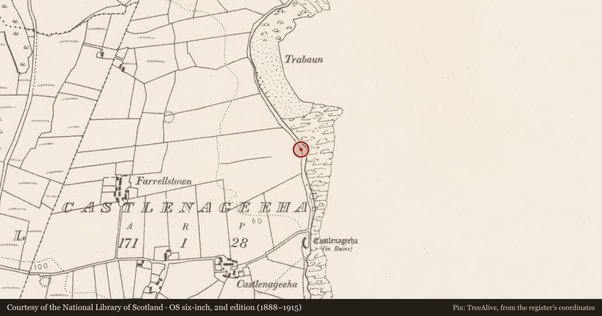
In the eroding face of low cliff, located at the S end of Trabaun beach on Kilcummin Head, overlooking Killala Bay.
Human bones were found eroding from the cliff face in April 2003. The find was investigated by the Gardai, who removed most of the bones, and was subsequently excavated by the National Museum.
Two concentrations of bones were found at a depth of c. 0.36-0.54m below the top of the low cliff, underlying a naturally-occurring layer of water rolled cobbles. One was a burial (MA015-076001-), completely disturbed, of the inhumed remains of one individual. The second concentration of bones (MA015-076002-) was found c. 4m SE, and comprised only foot bones and part of a pelvis. It may represent bones displaced from the burial (MA015-076001-) mentioned above, or it may be part of a second burial. No evidence of grave structures was found. (Cahill and Sikora 2011, 383-4).
Compiled by: Jane O’Shaughnessy
Date of upload: 7 December 2018
References
Cahill, M. and Sikora, M. (eds) 2011 Breaking ground, finding graves - reports on the excavations of burials by the National Museum of Ireland, 1927-2006, 2 vols. Dublin. Wordwell Ltd. in association with the National Museum of Ireland.
Nearby in the register
- Burialunder 1 mi
- Enclosureunder 1 mi
- Castle - unclassifiedunder 1 mi
- Ringfort - rathunder 1 mi
Other entries of the same register within about three miles of this one, by straight line.