Sites and Monuments Record · Ireland
Cross-inscribed stone
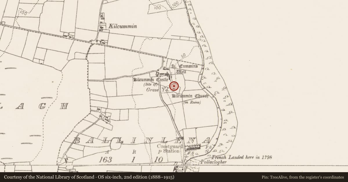
Ballinlena, County Mayo, Ireland
The record
- Townland
- Ballinlena
- County
- Mayo
- Country
- Ireland
- First-edition OS map
- Not indicated
- Latest-edition OS map
- Not indicated
- Coordinates
- 54.27730, -9.21016
- SMR number
- MA008-006006-
Slide toward Today to fade the historical sheet and see the modern map underneath.
David Rumsey Map Collection, Stanford LibrariesDavid Rumsey Map Collection, Stanford LibrariesDavid Rumsey Map Collection, Stanford LibrariesDavid Rumsey Map Collection, Stanford Libraries
4 historical maps cover this location, the earliest the 1790 map "Composite: Ireland." (David Rumsey Map Collection, Stanford Libraries).
Historical maps covering this location
- 1790 · Composite: Ireland. (David Rumsey Map Collection, Stanford Libraries)
- 1841 · Ireland. (David Rumsey Map Collection, Stanford Libraries)
- 1869 · Ireland. (David Rumsey Map Collection, Stanford Libraries)
- 1891 · Ireland 16 (David Rumsey Map Collection, Stanford Libraries)
This record in the National Monuments Service's Historic Environment Viewer ↗
The National Monuments Service's description
In Kilcummin graveyard (MA008-006007-). The 1838 OS Letters record that there was a triangular-shaped stone slab, with a small Maltese-type cross in circle inscribed on one face, located on the W side of St Cummin’s grave (MA008-006002-) in the N half of the graveyard (O’Flanagan 1927, 101). The small size of the stone suggested that it might have broken off a larger slab, and it was noted that the cross was similar in design to those on another cross-slab (MA008-006003-) which stands on the W side of the saint’s grave. The dimensions of the three sides of the triangular slab were recorded as 11 inches [0.28m], 8 inches [0.2m] and 6 inches [0.15m], and it was 2.5 inches [0.06m] thick. The current location of the stone is unknown.
Compiled by: Jane O'Shaughnessy
Date of upload: 15 July 2019
Nearby in the register
- Cross-slabunder 1 mi
- Graveyardunder 1 mi
- Inscribed stoneunder 1 mi
- Shrineunder 1 mi
Other entries of the same register within about three miles of this one, by straight line.