Sites and Monuments Record · Ireland
Church
Churchquarter, County Limerick, Ireland
The record
- Townland
- Churchquarter
- County
- Limerick
- Country
- Ireland
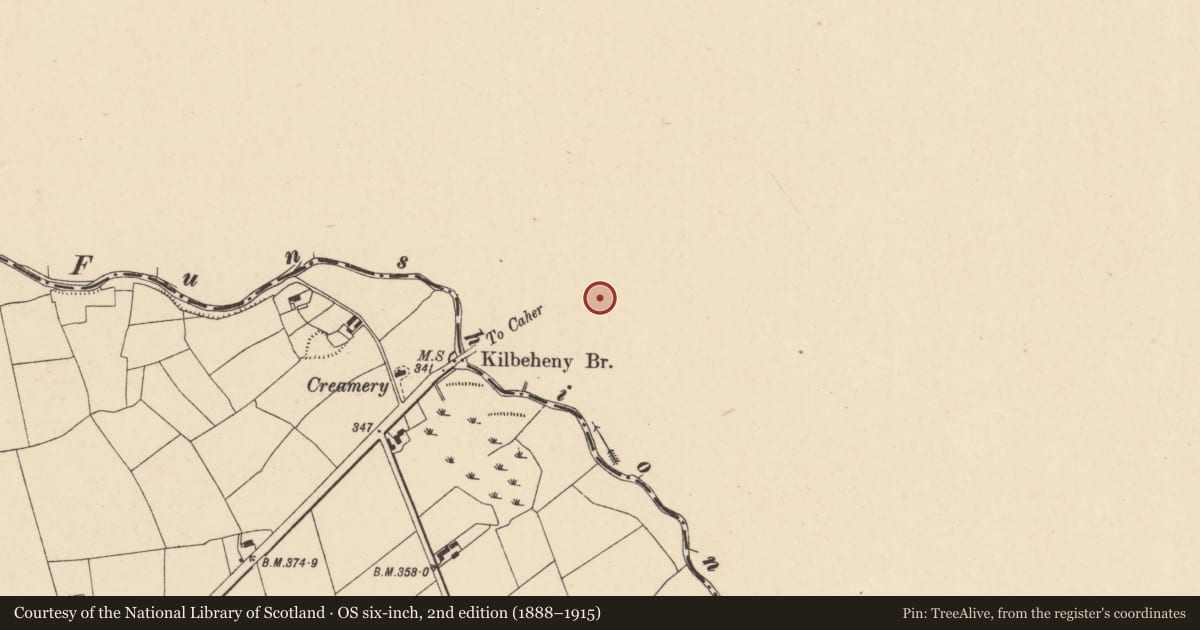
- First-edition OS map
- Kilbeheny Church (in ruins)
- Latest-edition OS map
- Coill Beithne Church (in Ruins)
- Coordinates
- 52.29413, -8.20362
- SMR number
- LI060-005001-
Slide toward Today to fade the historical sheet and see the modern map underneath.
David Rumsey Map Collection, Stanford LibrariesDavid Rumsey Map Collection, Stanford LibrariesDavid Rumsey Map Collection, Stanford LibrariesDavid Rumsey Map Collection, Stanford Libraries
4 historical maps cover this location, the earliest the 1790 map "Composite: Ireland." (David Rumsey Map Collection, Stanford Libraries).
Historical maps covering this location
- 1790 · Composite: Ireland. (David Rumsey Map Collection, Stanford Libraries)
- 1882 · Ireland (southern half). (David Rumsey Map Collection, Stanford Libraries)
- 1891 · Ireland 16 (David Rumsey Map Collection, Stanford Libraries)
- 1904 · Sheet 13. (David Rumsey Map Collection, Stanford Libraries)
This record in the National Monuments Service's Historic Environment Viewer ↗
The National Monuments Service's description
Westropp (1904-5, 454) recorded the following details about Kilbeheny Church; ' The Chapel of Kylmyhyn, 1347 (supra, 368); Coillbeithne, Birchwood, 1502 (A.F.M.); Kylvehenyom, Lim., forfeited by Mathew mac Murrogh in rebellion, 1591 (Inq. 34). A ruinous castle called Kilvehoine, or Kilvehenny, 1607 (Pat. R.); Keilbeheny, 1657 (Petty, 74).
Fabric - It stands on high ground among great hills on the border of Limerick and Cork, near their junction with Tipperary. It is 48 feet [14.6m] by 21½ feet [6.5m]. The east window had a double light and round splay arch. The south window and south door splay were oblong, and the door arch pointed. The west door was defaced before 1840; and the north wall had a round-headed window 4 feet [1.2m] from the east gable. The walls were 12 feet [3.65m] by 3 feet [0.9m]. It lies beside the river Funshion'.
Compiled by: Caimin O'Brien
Date of upload: 27 June 2019
References
Westropp, T.J. 1904-5 A survey of the ancient churches of Co. Limerick. Proceedings of the Royal Irish Academy 25C, 327-479.
Nearby in the register
- Graveyardunder 1 mi
- Ritual site - holy wellunder 1 mi
- Burnt spreadunder 1 mi
- Ringfort - rathunder 1 mi
Other entries of the same register within about three miles of this one, by straight line.