Sites and Monuments Record · Ireland
Hut site
Knocknascrow, County Limerick, Ireland
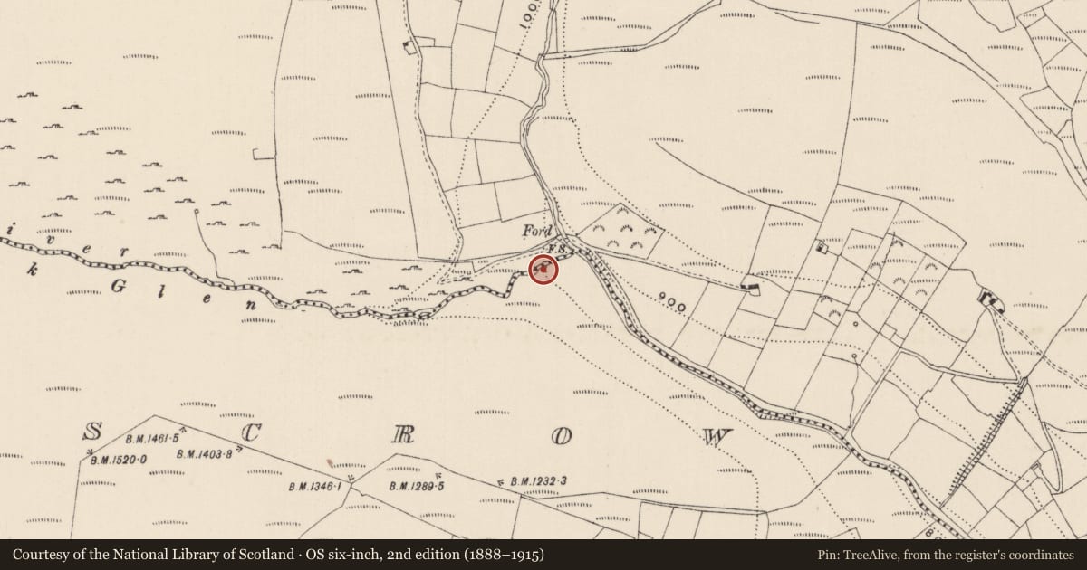
The record
- Townland
- Knocknascrow
- County
- Limerick
- Country
- Ireland
- First-edition OS map
- Not indicated
- Latest-edition OS map
- Not indicated
- Coordinates
- 52.33379, -8.21121
- SMR number
- LI058-032----
Slide toward Today to fade the historical sheet and see the modern map underneath.
David Rumsey Map Collection, Stanford LibrariesDavid Rumsey Map Collection, Stanford LibrariesDavid Rumsey Map Collection, Stanford LibrariesDavid Rumsey Map Collection, Stanford Libraries
4 historical maps cover this location, the earliest the 1790 map "Composite: Ireland." (David Rumsey Map Collection, Stanford Libraries).
Historical maps covering this location
- 1790 · Composite: Ireland. (David Rumsey Map Collection, Stanford Libraries)
- 1882 · Ireland (southern half). (David Rumsey Map Collection, Stanford Libraries)
- 1891 · Ireland 16 (David Rumsey Map Collection, Stanford Libraries)
- 1904 · Sheet 13. (David Rumsey Map Collection, Stanford Libraries)
This record in the National Monuments Service's Historic Environment Viewer ↗
The National Monuments Service's description
Rectangular hut-site aligned NE-SW on flat ground immediately S of Pigeonrock River (Coolatiny Stream) which forms townland boundary with Carrigeen Mountain. Listed as Knocknascrow 4 (Costello 2016, 308). Remains consist of a rectangular-shaped area (ext. dims. 7.8m x 4.6m; int. dims. 6.2m x 3m) enclosed by moss-covered earth and stone wall (avg. H 0.4m; avg. T 0.8m) with no entrance visible. A roughly rectangular-shaped annexe (ext. dims. 4.8m x 3.1m) with less substantial walls abut E side, as if sheltering an entrance in that wall (Costello 2016, 92).
See attached photographs courtesy of Dr. Eugene Costello
Compiled by: Dr Eugene Costello
Date of upload: 25 August 2020
References
Costello, E. 2016 Upland transhumance practices in Ireland, and their role in post-medieval settlement and society, c.1550-1900 AD. Unpublished doctoral thesis, NUI Galway.
Costello, E. 2016 Seasonal settlement and the interpretation of upland archaeology in the Galtee Mountains, Ireland. Landscape History 37(1), 87-98.
Nearby in the register
- Ringfort - cashelunder 1 mi
- Kiln - limeunder 1 mi
- Hut siteunder 1 mi
- Kiln - limeunder 1 mi
Other entries of the same register within about three miles of this one, by straight line.