Sites and Monuments Record · Ireland
Bawn
Knockanebrack, County Limerick, Ireland
The record
- Townland
- Knockanebrack
- County
- Limerick
- Country
- Ireland
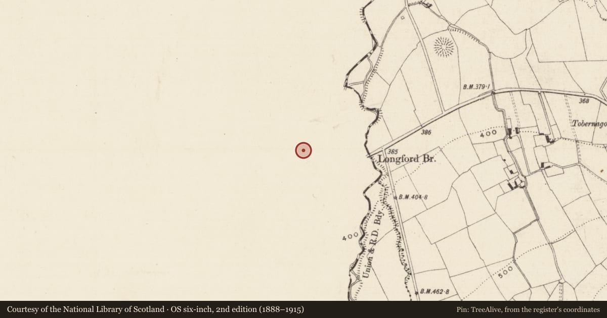
- First-edition OS map
- Not indicated, Site of Dungrot Castle
- Latest-edition OS map
- Dungrot, Hachured (1927)
- Coordinates
- 52.39603, -8.23060
- SMR number
- LI050-004001-
Slide toward Today to fade the historical sheet and see the modern map underneath.
David Rumsey Map Collection, Stanford LibrariesDavid Rumsey Map Collection, Stanford LibrariesDavid Rumsey Map Collection, Stanford LibrariesDavid Rumsey Map Collection, Stanford Libraries
4 historical maps cover this location, the earliest the 1790 map "Composite: Ireland." (David Rumsey Map Collection, Stanford Libraries).
Historical maps covering this location
- 1790 · Composite: Ireland. (David Rumsey Map Collection, Stanford Libraries)
- 1882 · Ireland (southern half). (David Rumsey Map Collection, Stanford Libraries)
- 1891 · Ireland 16 (David Rumsey Map Collection, Stanford Libraries)
- 1904 · Sheet 13. (David Rumsey Map Collection, Stanford Libraries)
This record in the National Monuments Service's Historic Environment Viewer ↗
The National Monuments Service's description
Westropp (1920, 381) described the enclosure or bawn/bailey of Dun Grot Castle as follows; ‘On its angle, over a deep, bushy stream glen, rises a little fragment of wall, in curious outworks, the last relic of Dungrot Castle [LI050-004002-]. The outworks are a notable instance of the ingenuity of the old fort-makers in adapting natural features. The platform was naturally precipitous to the south and east, so they made a dry-stone revetment along it, and scarped and raised the landward faces into a high and efficient rampart, with a fosse along its foot. They carved and adapted a knoll in the south-west bend the same way, and levelled its summit. Examining the outer defence, we note the fosse, 9 [2.7m] to 12 feet [3.6m] wide, a few feet deep, but deepening eastward towards the gully. In the reach from the eastern edge is the gap of the old gateway, the entrance ramp rising to the platform; it is 6 feet [1.8m] wide, and lies to the north-east of the Castle. To either side of this are large, shallow, oval hollows, or house rings on the platform; that to the south-east abutting against the wall at the precipice. The other site lies to the north-west of the entrance. The garth here is 13 feet [4m] above the field; the rampart from 12 feet [3.6m] to 18 feet [5.5m] high outside, and about 25 feet [7.6m] thick at the base, and 6 feet [1.8m] to 12 feet [3.6m] wide on top. At the north it turns sharply to the south-west, curving back to the upper garth, and, as the natural rise of the field is not counterbalanced in the wall, the latter is rarely over 6 feet [1.8m] high at the neck, where it joins the upper ring fort. This has a bold scarp, 20 feet [6m] to 30 feet [10m] high, till it returns to the gully, and is somewhat irregular, generally speaking oval, about 100 feet [30m] east and west and 90 feet [27m] north and south. Its revetment is from 3 [0.9m] to over 6 feet [1.8m] thick, and on the side of the outwork it usually rises about 10 feet over the fosse, which is rarely 3 feet [0.9m] deep and from 9 [2.7m] to 12 feet [3.6m] wide. Near the centre of the platform on the summit of the knoll stood the castle tower. The whole foundation is featureless, but of fair masonry, about 9 feet [2.7m] high, 15 feet [4.5m] long, and 6 feet [1.8m] thick. There is a fair and extensive view down the glen and the wide valley of Slievenamuck, the open plain and the blue distances of Co. Tipperary’.
See attached Google Earth orthoimage taken 21/06/2021
Compiled by: Caimin O'Brien
Date of upload: 7 October 2021
References
Westropp, T.J. 1920 The assembly-place of ´Oenach Cairbre and Síd Asail at Monasteranenagh, County Limerick. Proceedings of the Royal Irish Academy 35C, 363-77.
Nearby in the register
- Castle - unclassifiedunder 1 mi
- Earthworkunder 1 mi
- Enclosureunder 1 mi
- Barrow - ring-barrowunder 1 mi
Other entries of the same register within about three miles of this one, by straight line.