Sites and Monuments Record · Ireland
Cremated remains
Cush, County Limerick, Ireland
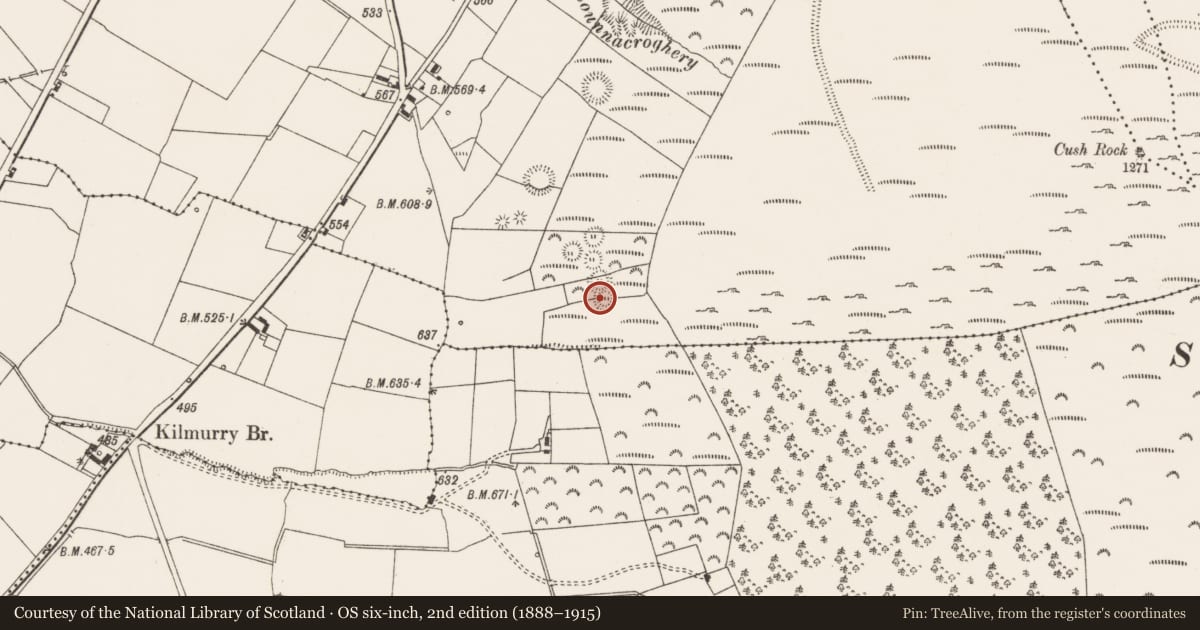
The record
- Townland
- Cush
- County
- Limerick
- Country
- Ireland
- First-edition OS map
- Not indicated
- Latest-edition OS map
- Not indicated
- Coordinates
- 52.38077, -8.44276
- SMR number
- LI048-034021-
Slide toward Today to fade the historical sheet and see the modern map underneath.
David Rumsey Map Collection, Stanford LibrariesDavid Rumsey Map Collection, Stanford LibrariesDavid Rumsey Map Collection, Stanford LibrariesDavid Rumsey Map Collection, Stanford Libraries
4 historical maps cover this location, the earliest the 1790 map "Composite: Ireland." (David Rumsey Map Collection, Stanford Libraries).
Historical maps covering this location
- 1790 · Composite: Ireland. (David Rumsey Map Collection, Stanford Libraries)
- 1882 · Ireland (southern half). (David Rumsey Map Collection, Stanford Libraries)
- 1891 · Ireland 16 (David Rumsey Map Collection, Stanford Libraries)
- 1904 · Sheet 13. (David Rumsey Map Collection, Stanford Libraries)
This record in the National Monuments Service's Historic Environment Viewer ↗
The National Monuments Service's description
Cremation burial in W quadrant of bivallate ringfort (LI048-034016-) excavated by Ó Ríordáin (1940, 128-132) between 1934-5. Described by Ó Ríordáin (1940, 112) as; 'Burial No. V is the least elaborate of those to be described. Under the second of the two large stones, which showed near the entrance to the fort, we found a cremated burial partly protected by the cap-stone, some of the remains lying outside the area it covered. The cap-stone was supported (as will be seen on the plan) on an irregular group of stones. The amount of cremated remains found was small but some of the deposit could easily have been removed at some period as were the greater portion of the urn in Burial 4 (LI048-034020-) and presumably part of the cremated bones contained in it’.
See attached plans and photos from Ó Ríordáin and Google Earth orthoimages.
Compiled by: Fiona Rooney
Date of upload: 8 September 2021
References
Ó Ríordáin, S.P. 1940 Excavations at Cush, Co. Limerick (1934 and 1935). Proceedings of the Royal Irish Academy 45, 83-181.
Nearby in the register
- Cistunder 1 mi
- Cistunder 1 mi
- Urn burialunder 1 mi
- Urn burialunder 1 mi
Other entries of the same register within about three miles of this one, by straight line.