Sites and Monuments Record · Ireland
Flat cemetery
Knockainy West, County Limerick, Ireland
The record
- Townland
- Knockainy West
- County
- Limerick
- Country
- Ireland
- First-edition OS map
- Not indicated
- Latest-edition OS map
- Not indicated
- Coordinates
- 52.47230, -8.45615
- SMR number
- LI040-024----
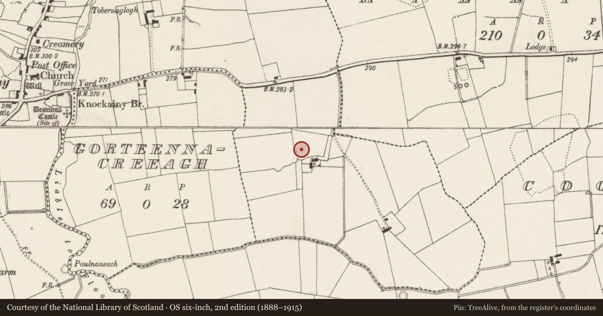
Slide toward Today to fade the historical sheet and see the modern map underneath.
David Rumsey Map Collection, Stanford LibrariesDavid Rumsey Map Collection, Stanford LibrariesDavid Rumsey Map Collection, Stanford LibrariesDavid Rumsey Map Collection, Stanford Libraries
4 historical maps cover this location, the earliest the 1790 map "Composite: Ireland." (David Rumsey Map Collection, Stanford Libraries).
Historical maps covering this location
- 1790 · Composite: Ireland. (David Rumsey Map Collection, Stanford Libraries)
- 1882 · Ireland (southern half). (David Rumsey Map Collection, Stanford Libraries)
- 1891 · Ireland 16 (David Rumsey Map Collection, Stanford Libraries)
- 1904 · Sheet 13. (David Rumsey Map Collection, Stanford Libraries)
This record in the National Monuments Service's Historic Environment Viewer ↗
The National Monuments Service's description
Cist graves described by Raftery (1941, 304) as following: 'Clashmore, Knockainey West, Co. Limerick. Several extended inhumations. Some in slab-lined graves, some not'. This discovery of eight burials was described by O'Kelly (1944, 23) as; ''These cists were first uncovered in the course of digging for sand. A rescue excavation was carried out on behalf of the National Museum, when a total of about 8 burials was uncovered, some of which were unprotected skeletons. Others had been removed before the excavator's arrival and still others were left unexcavated. The bodies lay E-W with the heads to the W., and all were extended burials. There were no associated finds but in the vicinity of the graves a quern stone was found. It is probable that the graves belong to the Early Iron Age or to the Early Christian period'.
Compiled by: Caimin O'Brien
Date of upload: 09 August 2019
References
O'Kelly, M.J. 1944 A survey of the antiquities in the barony of Small County, Co. Limerick. North Munster Antiquarian Journal 4, 16-53.
Raftery, J. 1941 Long stone cists of the Early Iron Age. Proceedings of the Royal Irish Academy 46C, 299-315.
Nearby in the register
- Earthworkunder 1 mi
- Ringfort - rathunder 1 mi
- Standing stoneunder 1 mi
- Castle - unclassifiedunder 1 mi
Other entries of the same register within about three miles of this one, by straight line.