Sites and Monuments Record · Ireland
Excavation - miscellaneous
Knockaderry, County Limerick, Ireland
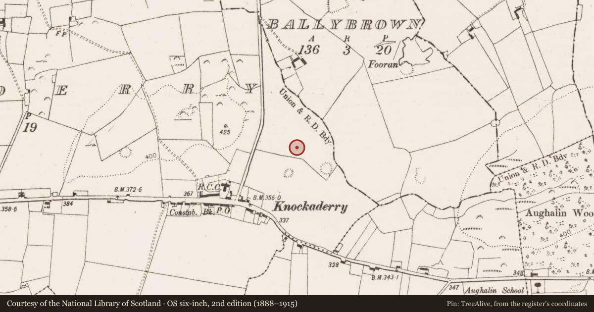
The record
- Townland
- Knockaderry
- County
- Limerick
- Country
- Ireland
- Coordinates
- 52.46702, -8.96221
- SMR number
- LI037-116003-
Slide toward Today to fade the historical sheet and see the modern map underneath.
David Rumsey Map Collection, Stanford LibrariesDavid Rumsey Map Collection, Stanford LibrariesDavid Rumsey Map Collection, Stanford LibrariesDavid Rumsey Map Collection, Stanford Libraries
4 historical maps cover this location, the earliest the 1790 map "Composite: Ireland." (David Rumsey Map Collection, Stanford Libraries).
Historical maps covering this location
- 1790 · Composite: Ireland. (David Rumsey Map Collection, Stanford Libraries)
- 1869 · Ireland. (David Rumsey Map Collection, Stanford Libraries)
- 1883 · Ireland 3. (David Rumsey Map Collection, Stanford Libraries)
- 1891 · Ireland 16 (David Rumsey Map Collection, Stanford Libraries)
This record in the National Monuments Service's Historic Environment Viewer ↗
The National Monuments Service's description
Test-trenching Graham Hull (07E0179) 'in advance of a proposed housing development located a cremation burial cemetery (21 pits) and a circular hut site (2m diameter). These features are very probably prehistoric in date. Linear features were also found and these may relate to early field systems.' The above description is posted on the web at the following internet address: http://www.excavations.ie/ (accessed 27 August 2012).
This is the record for all the excavated features, excluding the hut site (LI037-116001-) and the cremated burials (LI037-116002-).
Compiled by: Denis Power
Date of upload: 27 August 2012
Nearby in the register
- Hut siteunder 1 mi
- Flat cemeteryunder 1 mi
- Ringfort - rathunder 1 mi
- Ringfort - rathunder 1 mi
Other entries of the same register within about three miles of this one, by straight line.