Sites and Monuments Record · Ireland
Barrow - unclassified
Oldtown (Bennett), County Limerick, Ireland
The record
- Townland
- Oldtown (Bennett)
- County
- Limerick
- Country
- Ireland
- First-edition OS map
- Not indicated
- Latest-edition OS map
- Hachured (1928)
- Coordinates
- 52.47478, -8.39510
- SMR number
- LI033-048001-
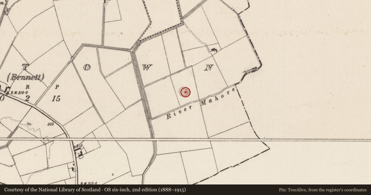
Slide toward Today to fade the historical sheet and see the modern map underneath.
David Rumsey Map Collection, Stanford LibrariesDavid Rumsey Map Collection, Stanford LibrariesDavid Rumsey Map Collection, Stanford LibrariesDavid Rumsey Map Collection, Stanford Libraries
4 historical maps cover this location, the earliest the 1790 map "Composite: Ireland." (David Rumsey Map Collection, Stanford Libraries).
Historical maps covering this location
- 1790 · Composite: Ireland. (David Rumsey Map Collection, Stanford Libraries)
- 1882 · Ireland (southern half). (David Rumsey Map Collection, Stanford Libraries)
- 1891 · Ireland 16 (David Rumsey Map Collection, Stanford Libraries)
- 1904 · Sheet 13. (David Rumsey Map Collection, Stanford Libraries)
This record in the National Monuments Service's Historic Environment Viewer ↗
The National Monuments Service's description
Barrow described in 1942-3 as following; 'This consists of a circular platform surrounded by a fosse. Outside the fosse is a slight bank which is broken in four places. These breaks seem to have been caused by the making of drains in the field. But in spite of the drains the fosse remains water-logged. The platform has a height of 1' [0.3m] over the field level and the overall diameter is 204' [62m]. It is in low-lying marshy ground. In the north-west quadrant of the platform is a very well made ring-barrow. This consists of a slight mound around which there is a fosse which is well defined. Outside this there is a very slight continuous bank. The overall diameter is 36' [11m] (O'Kelly 1942-3, 239). Outline of barrow clearly visible today on Digital Globe aerial photographs.
Compiled by: Caimin O'Brien
Date of upload: 6 March 2020
See attached ASI aerial photographs ASIAP - 369/2, 3, 4, 5, 6, 7, 8, 9 on 10/05/2003.
References
O'Kelly, M.J. 1942-3 A survey of the antiquities in the barony of Small County, Co. Limerick. North Munster Antiquarian Journal 3, 75-97, 169-84, 222-46.
ASIAP - Archaeological Survey of Ireland Aerial Photographs (c. 1996 - c. 2010).
Nearby in the register
- Barrow - ring-barrowunder 1 mi
- Enclosureunder 1 mi
- Barrow - ditch barrowunder 1 mi
- Barrow - ditch barrowunder 1 mi
Other entries of the same register within about three miles of this one, by straight line.