Sites and Monuments Record · Ireland
Sundial
Patrickswell, County Limerick, Ireland
The record
- Townland
- Patrickswell
- County
- Limerick
- Country
- Ireland
- First-edition OS map
- Not indicated
- Latest-edition OS map
- Not indicated
- Coordinates
- 52.50518, -8.50663
- SMR number
- LI032-349----
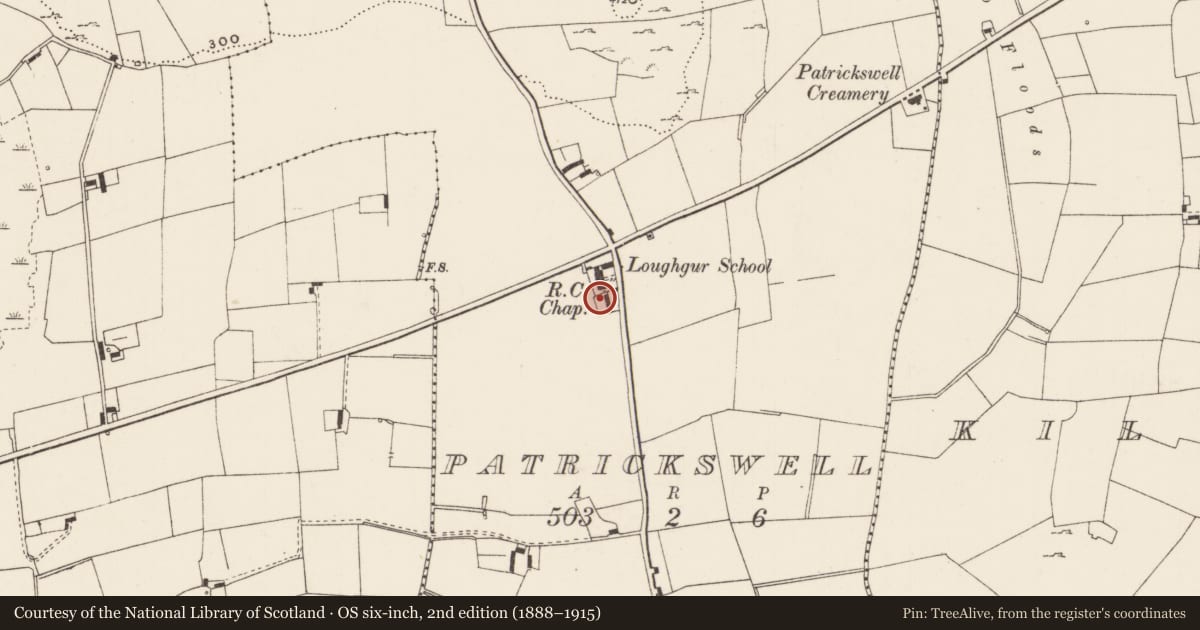
Slide toward Today to fade the historical sheet and see the modern map underneath.
David Rumsey Map Collection, Stanford LibrariesDavid Rumsey Map Collection, Stanford LibrariesDavid Rumsey Map Collection, Stanford LibrariesDavid Rumsey Map Collection, Stanford Libraries
4 historical maps cover this location, the earliest the 1790 map "Composite: Ireland." (David Rumsey Map Collection, Stanford Libraries).
Historical maps covering this location
- 1790 · Composite: Ireland. (David Rumsey Map Collection, Stanford Libraries)
- 1869 · Ireland. (David Rumsey Map Collection, Stanford Libraries)
- 1891 · Ireland 16 (David Rumsey Map Collection, Stanford Libraries)
- 1904 · Sheet 13. (David Rumsey Map Collection, Stanford Libraries)
This record in the National Monuments Service's Historic Environment Viewer ↗
The National Monuments Service's description
A square-shaped horizontal brass 17th century sundial (dims. 02.5m x 0.25m) originally from Lisadell, Co. Sligo that has been inserted into the top of a stone pier on the W side of the entrance from the grounds of St Patrick's R.C. Church to the modern cemetery built onto the S side (pers. comm. parish priest St Patrick's Church, 7 November 2022). The dial is decorated in the four corners with an eight-petal flower design and has an inscription which reads 'Time is Swiftly Fading' with the date 1697 above. The dial shows the time from 1 to 12 in Roman Numerals. On the outside ring there is a fractional time ring and in the centre there is an 8 point compass. It has a pierced brass gnomon. A medieval stoup (LI032-348---) has also been recently built into the side of this stone pier.
Compiled by: Caimin O’Brien
Date of upload: 9 November
Nearby in the register
- Stoup (present location)under 1 mi
- Enclosureunder 1 mi
- Earthworkunder 1 mi
- Enclosureunder 1 mi
Other entries of the same register within about three miles of this one, by straight line.