Sites and Monuments Record · Ireland
Enclosure
Castlefarm, County Limerick, Ireland
The record
- Townland
- Castlefarm
- County
- Limerick
- Country
- Ireland
- First-edition OS map
- Not indicated
- Latest-edition OS map
- Not indicated
- Coordinates
- 52.47935, -8.41562
- SMR number
- LI032-160005-
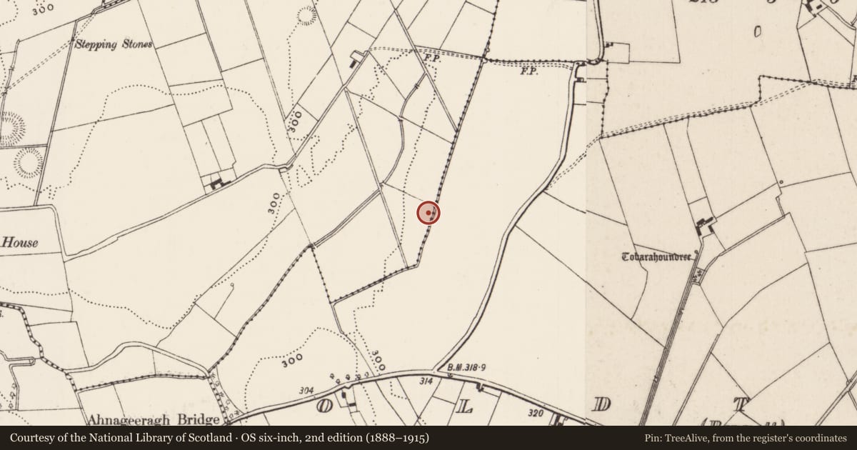
Slide toward Today to fade the historical sheet and see the modern map underneath.
David Rumsey Map Collection, Stanford LibrariesDavid Rumsey Map Collection, Stanford LibrariesDavid Rumsey Map Collection, Stanford LibrariesDavid Rumsey Map Collection, Stanford Libraries
4 historical maps cover this location, the earliest the 1790 map "Composite: Ireland." (David Rumsey Map Collection, Stanford Libraries).
Historical maps covering this location
- 1790 · Composite: Ireland. (David Rumsey Map Collection, Stanford Libraries)
- 1882 · Ireland (southern half). (David Rumsey Map Collection, Stanford Libraries)
- 1891 · Ireland 16 (David Rumsey Map Collection, Stanford Libraries)
- 1904 · Sheet 13. (David Rumsey Map Collection, Stanford Libraries)
This record in the National Monuments Service's Historic Environment Viewer ↗
The National Monuments Service's description
In improved wet pasture, cut by land drains and watercourses, abutting a townland boundary with Oldtown to NW. One of a complex of five monuments aligned roughly NE-SW along the townland boundary, over an approximate distance of 165m and consisting of a standing stone (LI032-160001-), three ring-barrows (LI032-160002-/03-/04-) and an enclosure (LI032-160005-). Not depicted on OSi historic maps. Monument identified as a rectangular-shaped cropmark by the Bruff aerial photographic survey in 1986 (Bruff 276: AP 5/2047). Monument is not visible on OSi orthoimages taken 2005-2012 or on Digital Globe orthoimages taken 2011-2013 or on Google Earth orthoimage taken 28/06/2018.
See attached Google Earth orthoimage and Bruff aerial survey image (southern most monument).
Compiled by: Alison McQueen and Vera Rahilly
Date of upload: 9 November 2020
Nearby in the register
- Barrow - unclassifiedunder 1 mi
- Standing stoneunder 1 mi
- Barrow - unclassifiedunder 1 mi
- Barrow - unclassifiedunder 1 mi
Other entries of the same register within about three miles of this one, by straight line.