Sites and Monuments Record · Ireland
Barrow - ring-barrow
Knockainy West, County Limerick, Ireland
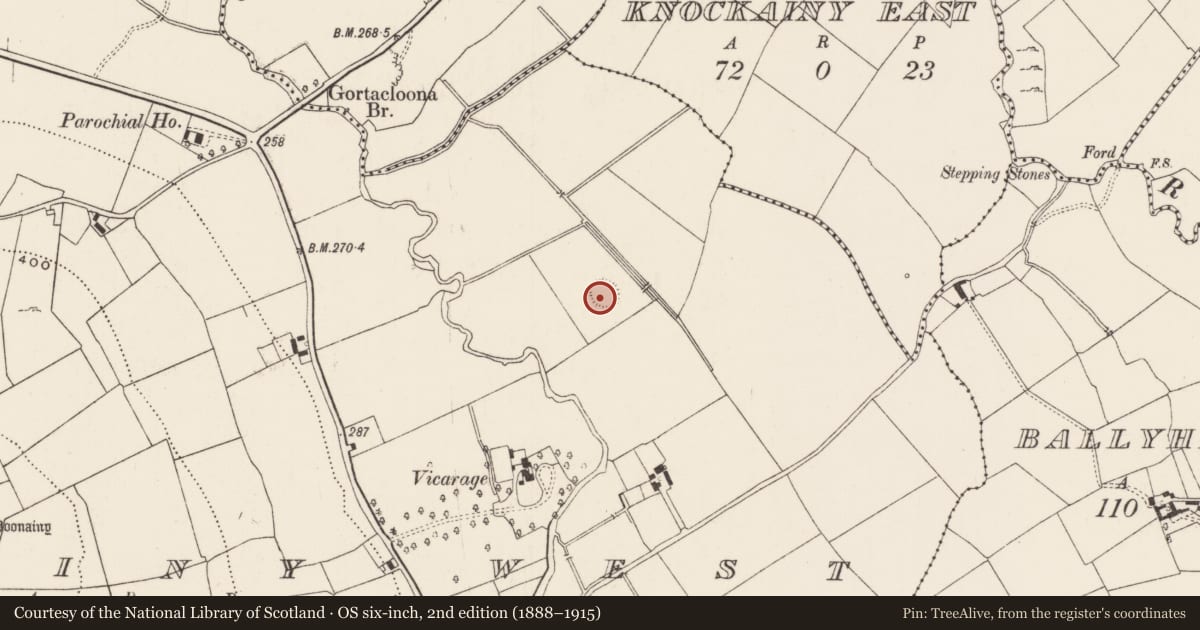
The record
- Townland
- Knockainy West
- County
- Limerick
- Country
- Ireland
- First-edition OS map
- Not indicated
- Latest-edition OS map
- Not indicated
- Coordinates
- 52.48203, -8.46307
- SMR number
- LI032-142003-
Slide toward Today to fade the historical sheet and see the modern map underneath.
David Rumsey Map Collection, Stanford LibrariesDavid Rumsey Map Collection, Stanford LibrariesDavid Rumsey Map Collection, Stanford LibrariesDavid Rumsey Map Collection, Stanford Libraries
4 historical maps cover this location, the earliest the 1790 map "Composite: Ireland." (David Rumsey Map Collection, Stanford Libraries).
Historical maps covering this location
- 1790 · Composite: Ireland. (David Rumsey Map Collection, Stanford Libraries)
- 1882 · Ireland (southern half). (David Rumsey Map Collection, Stanford Libraries)
- 1891 · Ireland 16 (David Rumsey Map Collection, Stanford Libraries)
- 1904 · Sheet 13. (David Rumsey Map Collection, Stanford Libraries)
This record in the National Monuments Service's Historic Environment Viewer ↗
The National Monuments Service's description
Described by O'Kelly (1944, 22) as following; 'A circular platform [LI032-142001-] surrounded by a fosse. Overall diameter 152' [46.3m], height 4' [1.2m]. The entrance is not recognisable. Centred on the E-W diameter and just inside the E. edge of the platform there is a ring-barrow [LI032-142003-]. This is a low mound surrounded by a fosse and has an overall diameter of 30' [9.1m]. Immediately to the S.E. of the platform is another barrow [LI032-142002-], similar in appearance, but having a diameter of 21' [6.4m]'.
Compiled by: Caimin O'Brien
Date of upload: 09 August 2019
See attached ASI aerial photographs ASIAP - 348/6, 348/9, 348/10 taken on 05/01/2003.
References
ASIAP - Archaeological Survey of Ireland Aerial Photographs (c. 1996 - c. 2010).
O'Kelly, M.J. 1944 Excavation of a cist-grave at Bealick, Macroom, Co. Cork. Journal of the Cork Historical and Archaeological Society 49, 116-21.
Nearby in the register
- Barrow - unclassifiedunder 1 mi
- Barrow - ring-barrowunder 1 mi
- Barrow - unclassifiedunder 1 mi
- Barrow - ring-barrowunder 1 mi
Other entries of the same register within about three miles of this one, by straight line.