Sites and Monuments Record · Ireland
Hut site
Knockainy West, County Limerick, Ireland
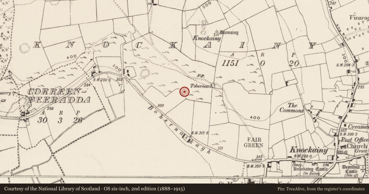
The record
- Townland
- Knockainy West
- County
- Limerick
- Country
- Ireland
- First-edition OS map
- Not indicated
- Latest-edition OS map
- Not indicated
- Coordinates
- 52.47653, -8.47861
- SMR number
- LI032-138----
Slide toward Today to fade the historical sheet and see the modern map underneath.
David Rumsey Map Collection, Stanford LibrariesDavid Rumsey Map Collection, Stanford LibrariesDavid Rumsey Map Collection, Stanford LibrariesDavid Rumsey Map Collection, Stanford Libraries
4 historical maps cover this location, the earliest the 1790 map "Composite: Ireland." (David Rumsey Map Collection, Stanford Libraries).
Historical maps covering this location
- 1790 · Composite: Ireland. (David Rumsey Map Collection, Stanford Libraries)
- 1882 · Ireland (southern half). (David Rumsey Map Collection, Stanford Libraries)
- 1891 · Ireland 16 (David Rumsey Map Collection, Stanford Libraries)
- 1904 · Sheet 13. (David Rumsey Map Collection, Stanford Libraries)
This record in the National Monuments Service's Historic Environment Viewer ↗
The National Monuments Service's description
Possible house site described by O'Kelly (1944, 22) as following; 'This may be a hut site or an animal enclosure. It is on the S. slope of Knockainy. It consists of a rectangular level space which is bounded on the N.W. and S.E. sides by walls built of single rows of stones. The N.E. side is formed from the natural rock of the higher part of the hill, which has been quarried out to a depth of about 3' [0.9m], while the S.W. side seems to have been closed by an earthen bank. The entrance is on the S.E. side and is 7' [2.1m] wide and 13' [4m] from the S. corner. The jambs on each side of the ope are of large stones 1' 6" [0.45m] high. It measures overall 36' [11m] by 30' [9m]. There are many ancient fences in its vicinity'.
Compiled by: Caimin O'Brien
Date of upload: 09 August 2019
See attached ASI aerial photograph ASIAP - 304/25 taken on 13/09/2002.
References
ASIAP - Archaeological Survey of Ireland Aerial Photographs (c. 1996 - c. 2010).
O'Kelly, M.J. 1944 A survey of the antiquities in the barony of Small County, Co. Limerick. North Munster Antiquarian Journal 4, 16-53.
Nearby in the register
- Enclosureunder 1 mi
- Ringfort - cashelunder 1 mi
- Ringfort - cashelunder 1 mi
- Ringfort - cashelunder 1 mi
Other entries of the same register within about three miles of this one, by straight line.