Sites and Monuments Record · Ireland
Enclosure
Ballyreesode, County Limerick, Ireland
The record
- Townland
- Ballyreesode
- County
- Limerick
- Country
- Ireland
- Coordinates
- 52.48733, -8.56648
- SMR number
- LI031-182----
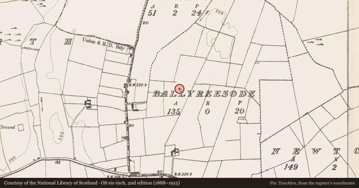
Slide toward Today to fade the historical sheet and see the modern map underneath.
David Rumsey Map Collection, Stanford LibrariesDavid Rumsey Map Collection, Stanford LibrariesDavid Rumsey Map Collection, Stanford LibrariesDavid Rumsey Map Collection, Stanford Libraries
4 historical maps cover this location, the earliest the 1790 map "Composite: Ireland." (David Rumsey Map Collection, Stanford Libraries).
Historical maps covering this location
- 1790 · Composite: Ireland. (David Rumsey Map Collection, Stanford Libraries)
- 1869 · Ireland. (David Rumsey Map Collection, Stanford Libraries)
- 1891 · Ireland 16 (David Rumsey Map Collection, Stanford Libraries)
- 1904 · Sheet 13. (David Rumsey Map Collection, Stanford Libraries)
This record in the National Monuments Service's Historic Environment Viewer ↗
The National Monuments Service's description
Identified from an aerial photograph (Bruff Survey: Map 23, Bruff 45: AP 5/2059) and described by Doody (2008, 134) as a 'oval ditched enclosure, c. 40m x 22m, with possible rectangular annexe, c. 25m x 20m, at SW end'; the morphology of this enclosure indicates that it may be Bronze Age in date (ibid.).
Compiled by: Denis Power
Date of upload: 7 November 2013
References
Doody, M 2008 The Ballyhoura Hills Project, Discovery Programme Monograph No. 7. Wordwell. Bray.
Nearby in the register
- Enclosureunder 1 mi
- Ring-ditchunder 1 mi
- Churchunder 1 mi
- Graveyardunder 1 mi
Other entries of the same register within about three miles of this one, by straight line.