Sites and Monuments Record · Ireland
Enclosure
Boherygeela, County Limerick, Ireland
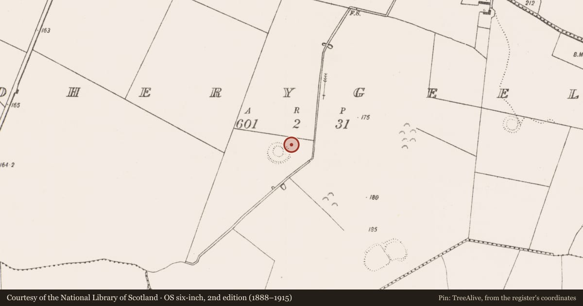
The record
- Townland
- Boherygeela
- County
- Limerick
- Country
- Ireland
- First-edition OS map
- Not indicated
- Latest-edition OS map
- Not indicated
- Coordinates
- 52.50385, -8.60863
- SMR number
- LI031-068002-
Slide toward Today to fade the historical sheet and see the modern map underneath.
David Rumsey Map Collection, Stanford LibrariesDavid Rumsey Map Collection, Stanford LibrariesDavid Rumsey Map Collection, Stanford LibrariesDavid Rumsey Map Collection, Stanford Libraries
4 historical maps cover this location, the earliest the 1790 map "Composite: Ireland." (David Rumsey Map Collection, Stanford Libraries).
Historical maps covering this location
- 1790 · Composite: Ireland. (David Rumsey Map Collection, Stanford Libraries)
- 1869 · Ireland. (David Rumsey Map Collection, Stanford Libraries)
- 1891 · Ireland 16 (David Rumsey Map Collection, Stanford Libraries)
- 1904 · Sheet 13. (David Rumsey Map Collection, Stanford Libraries)
This record in the National Monuments Service's Historic Environment Viewer ↗
The National Monuments Service's description
In reclaimed pasture, immediately NE of concentric enclosure (LI031-068001-) and S of enclosure (LI031-068002-). Not depicted on the OSi historic maps. Monument described by O’Kelly (1943, 232) as; ‘On the NE side just outside the broken end of the bank, is a sub-rectangular enclosure which is now only just barely perceptible. It consists of a slight bank surrounding an open space. Its greatest overall dimension is 175’ [53m].’ Monument is visible as a sub-rectangular shaped cropmark on the Archaeological Survey of Ireland aerial photograph (ASIAP (307) 12, 14) taken 13/09/2002. Trace of monument visible as a sub- rectangular shaped cropmark intersected at NE by a linear cropmark running NW-SE on OSi orthophoto taken between 2005-12 and on Digital Globe orthoimages dated 03/03/2013 and 20/09/2020.
Compiled by: Fiona Rooney
Date of Upload: 16 March 2021
References
ASIAP - Archaeological Survey of Ireland Aerial Photographs (c. 1996 - c. 2010).
O'Kelly, M.J. 1942-3 A survey of the antiquities in the barony of Small County, Co. Limerick. North Munster Antiquarian Journal 3, 75-97, 169-84, 222-46.
Nearby in the register
- Enclosureunder 1 mi
- Concentric enclosureunder 1 mi
- Road - road/trackwayunder 1 mi
- Ringfort - rathunder 1 mi
Other entries of the same register within about three miles of this one, by straight line.